Nou Barris night lights from space
Night Light of Nou Barris (Catalonia) from space (Spain) Src. Average luminocity for 10x10km area is 90.2194% and for 50x50km: 45.6764%.
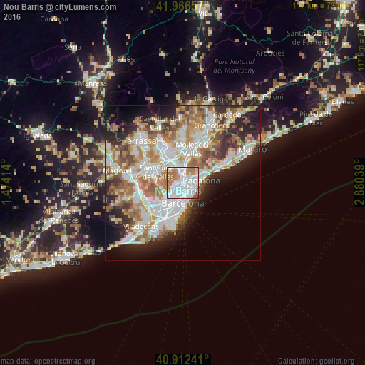
Analysis of Nou Barris night lights 2016
Square area 10x10 km:
 44.56%
90-99
24.66%80-89
3.4%70-79
11.22%60-69
14.12%50-59
2.04%40-49
0%30-39
0%20-29
0%10-19
0%0-9
0%Square area 50x50 km:
11.79%90-99
10.73%80-89
4.41%70-79
5.49%60-69
8.27%50-59
6.34%40-49
3.86%30-39
4.39%20-29
8.29%10-19
8.49%0-9
27.93%Clear (daylight) street map image can be seen on geolist.org.
Map coordinates:
41° 57' 59.7" North, 1° 28' 26.9" East
41° 26' 29.9" North, 2° 10' 38.2" East
40° 54' 44.7" North, 2° 52' 49.4" East
Some cities around Nou Barris sort by population:
• Barri de Sant Andreu
1.2 km =0.7 mi,  115°
115°
• la Prosperitat
0.4 km =0.2 mi,  73°
73°
• Porta
0.8 km =0.5 mi,  170°
170°
• les Roquetes
0.7 km =0.4 mi,  346°
346°
• el Turó de la Peira
1.2 km =0.7 mi,  213°
213°
• la Guineueta
0.8 km =0.5 mi,  245°
245°
• Verdun
0.2 km =0.1 mi,  311°
311°
• la Trinitat Nova
1.2 km =0.7 mi,  32°
32°
6252065 (p: 166,310)
Sources (retrieved 2019-11-25):
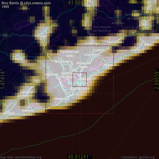
» NASA, Earths city lights 1995
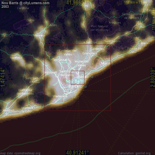
» NASA city lights 2003
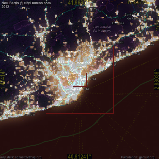
» Earth at Night: Flat Maps 2012, 2016