San Sebastián de la Gomera night lights from space
Night Light of San Sebastián de la Gomera (Canary Islands) from space (Spain) Src. Average luminocity for 10x10km area is 6.0644% and for 50x50km: 1.1632%.
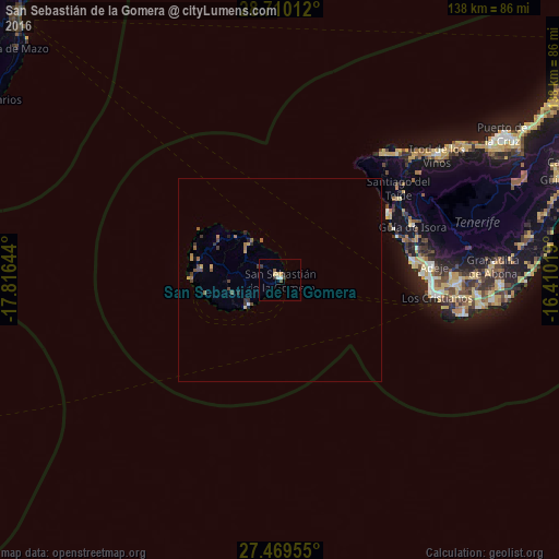
Analysis of San Sebastián de la Gomera night lights 2016
Square area 10x10 km:
 1.33%
1.33%90-99
0.19%80-89
1.52%70-79
0.76%60-69
0%50-59
0.76%40-49
0.95%30-39
1.33%20-29
0.95%10-19
0.57%0-9
91.67%Square area 50x50 km:
0.07%90-99
0.02%80-89
0.14%70-79
0.18%60-69
0.24%50-59
0.19%40-49
0.35%30-39
0.27%20-29
0.24%10-19
0.1%0-9
98.21%Clear (daylight) street map image can be seen on geolist.org.
Map coordinates:
28° 42' 36.4" North, 17° 48' 59.2" West
28° 5' 29.9" North, 17° 6' 47.9" West
27° 28' 10.4" North, 16° 24' 36.7" West
Some cities around San Sebastián de la Gomera sort by population:
• Arona
42.4 km =26.3 mi,  88°
88°
• Adeje
38.1 km =23.7 mi,  84°
84°
• Guía de Isora
35.3 km =21.9 mi,  67°
67°
• San Miguel De Abona
48.7 km =30.3 mi, 89°
• Santiago del Teide
36.8 km =22.9 mi,  52°
52°
• Garachico
46.5 km =28.9 mi, 47°
• Los Silos
42.2 km =26.2 mi,  43°
43°
• Buenavista del Norte
40 km =24.9 mi, 38°
2511230 (p: 8,964)
Sources (retrieved 2019-11-25):
» Earth at Night: Flat Maps 2012, 2016