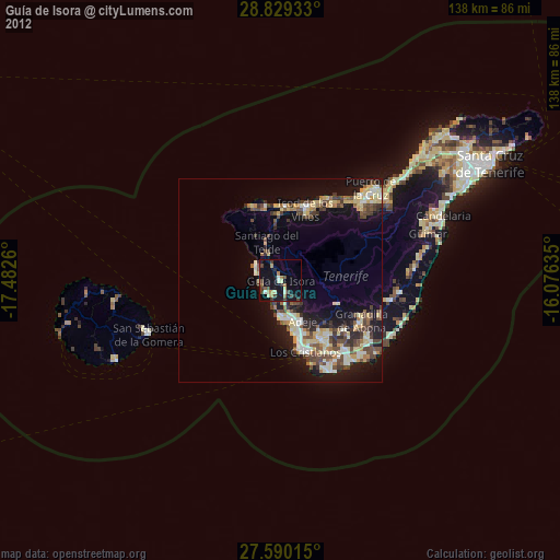
Guía de Isora night lights from space
Night Light of Guía de Isora (Canary Islands) from space (Spain) Src. Average luminocity for 10x10km area is 19.9246% and for 50x50km: 13.4053%.

Analysis of Guía de Isora night lights 2016
Square area 10x10 km:
 0.4%
0.4%90-99
1.98%80-89
1.39%70-79
2.38%60-69
3.37%50-59
4.17%40-49
3.97%30-39
4.96%20-29
3.17%10-19
30.56%0-9
43.65%Square area 50x50 km:
1.19%90-99
1.48%80-89
2.59%70-79
2.29%60-69
1.36%50-59
1.32%40-49
2.39%30-39
2.42%20-29
3.62%10-19
11.5%0-9
69.85%Clear (daylight) street map image can be seen on geolist.org.
Map coordinates:
28° 49' 45.6" North, 17° 28' 57.4" West
28° 12' 41.5" North, 16° 46' 46.1" West
27° 35' 24.5" North, 16° 4' 34.9" West
Some cities around Guía de Isora sort by population:
• Arona
15.7 km =9.8 mi,  142°
142°
• Adeje
11.2 km =7 mi,  152°
152°
• Icod de los Vinos
19.1 km =11.9 mi,  20°
20°
• San Miguel De Abona
20.3 km =12.6 mi,  128°
128°
• Santiago del Teide
9.8 km =6.1 mi,  338°
338°
• Garachico
18.1 km =11.2 mi,  4°
4°
• Los Silos
17.5 km =10.9 mi,  348°
348°
• Buenavista del Norte
19.8 km =12.3 mi, 336°
2516860 (p: 20,536)
Sources (retrieved 2019-11-25):
» Earth at Night: Flat Maps 2012, 2016