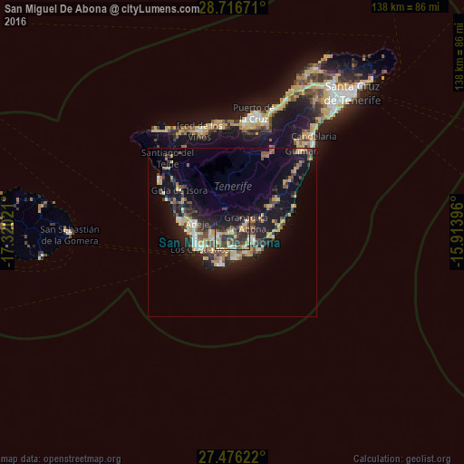
San Miguel De Abona night lights from space
Night Light of San Miguel De Abona (Canary Islands) from space (Spain) Src. Average luminocity for 10x10km area is 43.2121% and for 50x50km: 11.8368%.
Analysis of San Miguel De Abona night lights 2016
Square area 10x10 km:
 2.08%
2.08%90-99
2.84%80-89
10.8%70-79
10.42%60-69
1.7%50-59
4.36%40-49
13.26%30-39
15.91%20-29
13.83%10-19
20.64%0-9
4.17%Square area 50x50 km:
0.88%90-99
1.09%80-89
2.19%70-79
1.88%60-69
1.21%50-59
1.47%40-49
2.25%30-39
2.3%20-29
3.39%10-19
9.65%0-9
73.68%Clear (daylight) street map image can be seen on geolist.org.
Map coordinates:
28° 43' 0.2" North, 17° 19' 12.8" West
28° 5' 53.7" North, 16° 37' 1.5" West
27° 28' 34.4" North, 15° 54' 50.3" West
Some cities around San Miguel De Abona sort by population:
• Arona
6.3 km =3.9 mi,  271°
271°
• Adeje
11 km =6.8 mi,  284°
284°
• Granadilla de Abona
4.6 km =2.9 mi,  60°
60°
• Guía de Isora
20.3 km =12.6 mi,  308°
308°
• San Isidro
6.3 km =3.9 mi,  112°
112°
• Santiago del Teide
29.2 km =18.1 mi,  318°
318°
• Lomo de Arico
15.2 km =9.4 mi, 59°
• La Guancha
30.8 km =19.1 mi,  353°
353°
2511287 (p: 16,179)
Sources (retrieved 2019-11-25):
» Earth at Night: Flat Maps 2012, 2016