San Nicolás night lights from space
Night Light of San Nicolás (Canary Islands) from space (Spain) Src. Average luminocity for 10x10km area is 7.5227% and for 50x50km: 11.2674%.
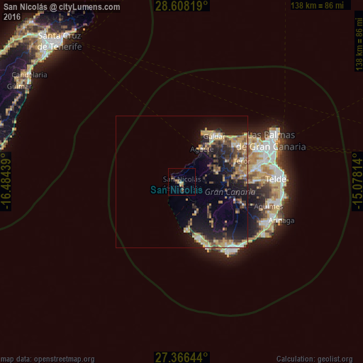
Analysis of San Nicolás night lights 2016
Square area 10x10 km:
 0.19%
0.19%90-99
0.57%80-89
1.14%70-79
1.89%60-69
0.76%50-59
1.52%40-49
0.76%30-39
3.03%20-29
1.52%10-19
0.76%0-9
87.88%Square area 50x50 km:
0.68%90-99
0.92%80-89
1.9%70-79
2.61%60-69
1.21%50-59
1.57%40-49
1.86%30-39
2.25%20-29
3.62%10-19
8.73%0-9
74.65%Clear (daylight) street map image can be seen on geolist.org.
Map coordinates:
28° 36' 29.5" North, 16° 29' 3.8" West
27° 59' 20.8" North, 15° 46' 52.5" West
27° 21' 59.2" North, 15° 4' 41.3" West
Some cities around San Nicolás sort by population:
• San Bartolomé de Tirajana
21.6 km =13.4 mi,  109°
109°
• Gáldar
21.8 km =13.5 mi,  36°
36°
• Mogán
12.9 km =8 mi,  154°
154°
• Guia
22.2 km =13.8 mi, 40°
• Teror
24.1 km =15 mi,  70°
70°
• Puerto Rico
23.3 km =14.5 mi,  162°
162°
• Moya
23.7 km =14.7 mi,  55°
55°
• Agaete
14.7 km =9.1 mi,  32°
32°
2511275 (p: 7,950)
Sources (retrieved 2019-11-25):
» Earth at Night: Flat Maps 2012, 2016