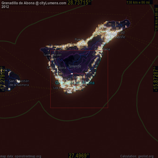
Granadilla de Abona night lights from space
Night Light of Granadilla de Abona (Canary Islands) from space (Spain) Src. Average luminocity for 10x10km area is 32.2633% and for 50x50km: 12.4335%.
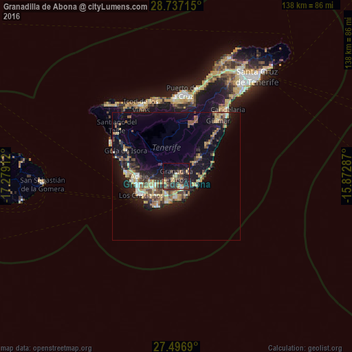
Analysis of Granadilla de Abona night lights 2016
Square area 10x10 km:
 1.52%
1.52%90-99
1.52%80-89
3.6%70-79
8.14%60-69
2.65%50-59
4.36%40-49
8.14%30-39
11.74%20-29
15.53%10-19
24.24%0-9
18.56%Square area 50x50 km:
0.9%90-99
1.11%80-89
2.31%70-79
1.96%60-69
1.3%50-59
1.61%40-49
2.2%30-39
2.36%20-29
3.45%10-19
11.02%0-9
71.79%Clear (daylight) street map image can be seen on geolist.org.
Map coordinates:
28° 44' 13.7" North, 17° 16' 44.8" West
28° 7' 7.8" North, 16° 34' 33.6" West
27° 29' 48.8" North, 15° 52' 22.3" West
Some cities around Granadilla de Abona sort by population:
• Arona
10.5 km =6.5 mi,  258°
258°
• Adeje
14.7 km =9.1 mi,  271°
271°
• Realejo Alto
28.7 km =17.8 mi,  358°
358°
• Guía de Isora
22.5 km =14 mi,  297°
297°
• San Isidro
5.1 km =3.2 mi,  159°
159°
• Güimar
26.7 km =16.6 mi,  36°
36°
• San Miguel De Abona
4.6 km =2.9 mi,  240°
240°
• Lomo de Arico
10.5 km =6.5 mi,  59°
59°
2517111 (p: 39,993)
Sources (retrieved 2019-11-25):
» Earth at Night: Flat Maps 2012, 2016