Mieres night lights from space
Night Light of Mieres (Asturias) from space (Spain) Src. Average luminocity for 10x10km area is 22.9803% and for 50x50km: 11.0728%.
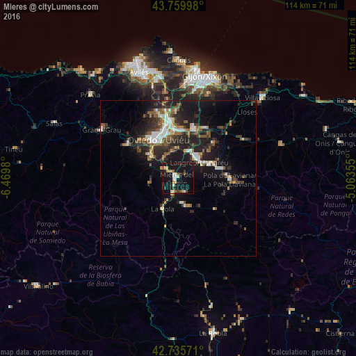
Analysis of Mieres night lights 2016
Square area 10x10 km:
 1.82%
1.82%90-99
5%80-89
2.27%70-79
2.73%60-69
1.82%50-59
2.12%40-49
1.52%30-39
2.12%20-29
3.18%10-19
50.61%0-9
26.82%Square area 50x50 km:
1.42%90-99
1.71%80-89
0.68%70-79
1%60-69
0.99%50-59
2.47%40-49
1.03%30-39
2.26%20-29
4.85%10-19
10.39%0-9
73.18%Clear (daylight) street map image can be seen on geolist.org.
Map coordinates:
43° 45' 35.9" North, 6° 28' 11.3" West
43° 15' 0" North, 5° 46' 0" West
42° 44' 8.6" North, 5° 3' 48.8" West
Some cities around Mieres sort by population:
• Oviedo
13.8 km =8.6 mi,  332°
332°
• Sama
8.4 km =5.2 mi,  52°
52°
• Pola de Laviana
16.5 km =10.3 mi,  91°
91°
• Lugones
17.4 km =10.8 mi,  347°
347°
• Llanera
27.1 km =16.8 mi, 330°
• Pola de Lena
11.1 km =6.9 mi,  206°
206°
• Pola de Siero
17.9 km =11.1 mi,  27°
27°
• El entrego
11.2 km =7 mi,  68°
68°
3116789 (p: 44,070)
Sources (retrieved 2019-11-25):
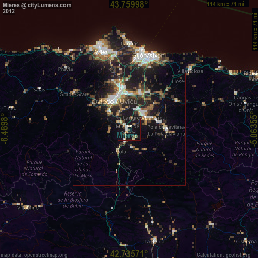
» Earth at Night: Flat Maps 2012, 2016