Rivas-Vaciamadrid night lights from space
Night Light of Rivas-Vaciamadrid (Madrid) from space (Spain) Src. Average luminocity for 10x10km area is 51.4541% and for 50x50km: 43.9971%.
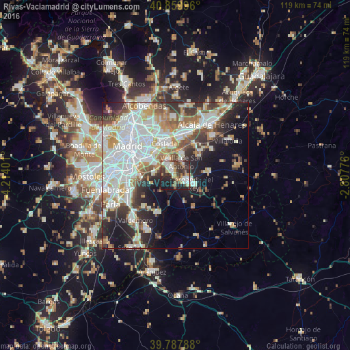
Analysis of Rivas-Vaciamadrid night lights 2016
Square area 10x10 km:
 11.05%
90-99
9.52%80-89
4.76%70-79
8.33%60-69
4.76%50-59
5.1%40-49
7.65%30-39
14.12%20-29
20.92%10-19
13.1%0-9
0.68%Square area 50x50 km:
13.51%90-99
10.89%80-89
3.84%70-79
5.15%60-69
4.3%50-59
4.02%40-49
4.15%30-39
4.93%20-29
7.92%10-19
10.93%0-9
30.36%Clear (daylight) street map image can be seen on geolist.org.
Map coordinates:
40° 51' 35.9" North, 4° 12' 50.4" West
40° 19' 33.8" North, 3° 30' 39.2" West
39° 47' 16.4" North, 2° 48' 27.9" West
Some cities around Rivas-Vaciamadrid sort by population:
• Coslada
11.7 km =7.3 mi,  338°
338°
• Vicálvaro
11.2 km =7 mi,  317°
317°
• Villa de Vallecas
8.9 km =5.5 mi,  300°
300°
• Arganda
6.8 km =4.2 mi,  114°
114°
• San Fernando de Henares
11 km =6.8 mi,  350°
350°
• Mejorada del Campo
7.8 km =4.8 mi,  18°
18°
• Velilla de San Antonio
4.9 km =3 mi,  26°
26°
• Morata de Tajuña
12.9 km =8 mi,  148°
148°
3107112 (p: 68,405)
Sources (retrieved 2019-11-25):
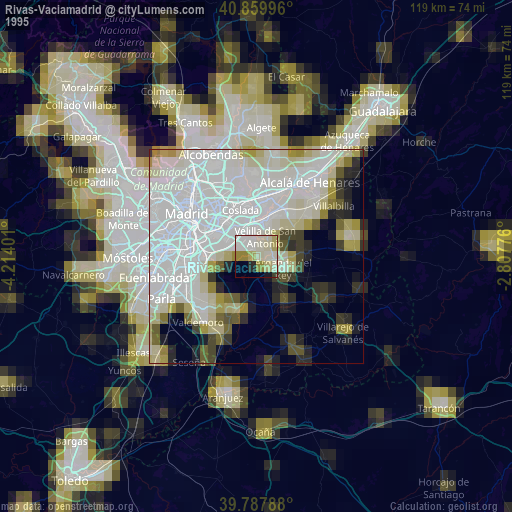
» NASA, Earths city lights 1995
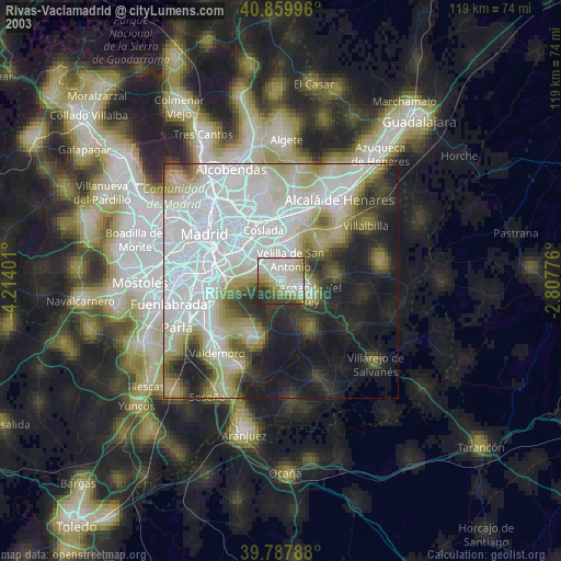
» NASA city lights 2003
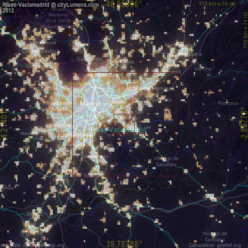
» Earth at Night: Flat Maps 2012, 2016