Palamós night lights from space
Night Light of Palamós (Catalonia) from space (Spain) Src. Average luminocity for 10x10km area is 31.554% and for 50x50km: 9.0684%.
Analysis of Palamós night lights 2016
Square area 10x10 km:
 5.4%
5.4%90-99
5.71%80-89
2.38%70-79
2.38%60-69
5.08%50-59
3.81%40-49
4.13%30-39
2.86%20-29
10.48%10-19
37.14%0-9
20.63%Square area 50x50 km:
0.91%90-99
1.29%80-89
1.18%70-79
0.97%60-69
1.03%50-59
1.09%40-49
1.04%30-39
1.08%20-29
2.43%10-19
10.01%0-9
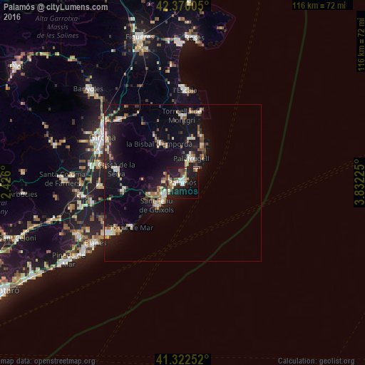
78.98%Clear (daylight) street map image can be seen on geolist.org.
Map coordinates:
42° 22' 12.2" North, 2° 25' 33.6" East
41° 50' 54.3" North, 3° 7' 44.8" East
41° 19' 21.1" North, 3° 49' 56.1" East
Some cities around Palamós sort by population:
• Palafrugell
8.2 km =5.1 mi,  20°
20°
• Sant Feliu de Guíxols
10.7 km =6.6 mi,  227°
227°
• Calonge
4.3 km =2.7 mi,  285°
285°
• la Bisbal d'Empordà
13.1 km =8.1 mi,  329°
329°
• Castell-Platja d'Aro
6.2 km =3.9 mi,  236°
236°
• Cassà de la Selva
21.5 km =13.4 mi,  281°
281°
• Llagostera
19.7 km =12.2 mi,  262°
262°
• Santa Cristina d'Aro
11.3 km =7 mi,  251°
251°
3114566 (p: 18,161)
Sources (retrieved 2019-11-25):
» Earth at Night: Flat Maps 2012, 2016