Sant Feliu de Guíxols night lights from space
Night Light of Sant Feliu de Guíxols (Catalonia) from space (Spain) Src. Average luminocity for 10x10km area is 27.9951% and for 50x50km: 13.008%.
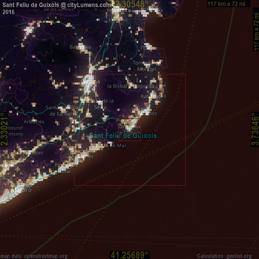
Analysis of Sant Feliu de Guíxols night lights 2016
Square area 10x10 km:
 4.55%
4.55%90-99
4.87%80-89
2.27%70-79
4.38%60-69
5.84%50-59
4.55%40-49
1.79%30-39
0.97%20-29
5.03%10-19
24.19%0-9
41.56%Square area 50x50 km:
1.59%90-99
2.3%80-89
1.52%70-79
1.36%60-69
1.44%50-59
1.61%40-49
1.38%30-39
1.54%20-29
4.41%10-19
13.63%0-9
69.23%Clear (daylight) street map image can be seen on geolist.org.
Map coordinates:
42° 18' 19.7" North, 2° 19' 48.8" East
41° 46' 60" North, 3° 1' 60" East
41° 15' 24.8" North, 3° 44' 11.3" East
Some cities around Sant Feliu de Guíxols sort by population:
• Lloret de Mar
18.1 km =11.2 mi,  239°
239°
• Palamós
10.7 km =6.6 mi,  47°
47°
• Calonge
9.2 km =5.7 mi,  24°
24°
• Castell-Platja d'Aro
4.7 km =2.9 mi,  36°
36°
• Cassà de la Selva
17.5 km =10.9 mi,  311°
311°
• Llagostera
12.5 km =7.8 mi,  292°
292°
• Santa Cristina d'Aro
4.6 km =2.9 mi,  323°
323°
• Tossa de Mar
11.1 km =6.9 mi,  228°
228°
3110643 (p: 21,977)
Sources (retrieved 2019-11-25):
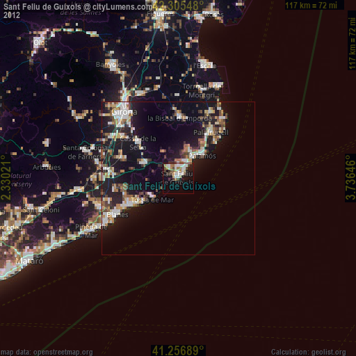
» Earth at Night: Flat Maps 2012, 2016