Santa Cristina d'Aro night lights from space
Night Light of Santa Cristina d'Aro (Catalonia) from space (Spain) Src. Average luminocity for 10x10km area is 28.2136% and for 50x50km: 15.5216%.
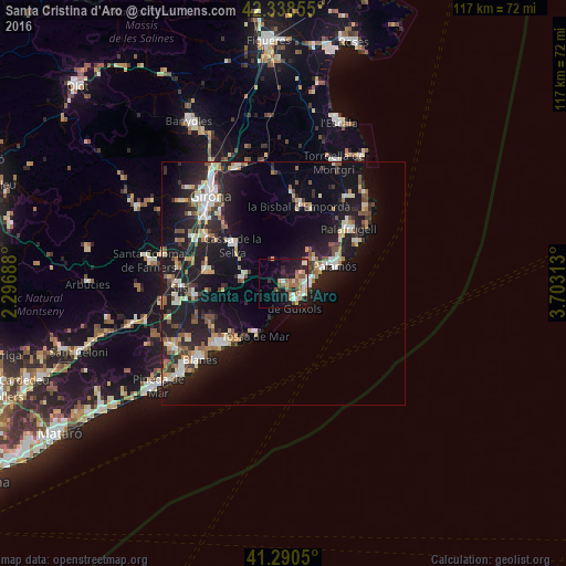
Analysis of Santa Cristina d'Aro night lights 2016
Square area 10x10 km:
 3.48%
3.48%90-99
4.39%80-89
3.33%70-79
5.3%60-69
4.85%50-59
5.45%40-49
1.97%30-39
0.91%20-29
8.64%10-19
21.06%0-9
40.61%Square area 50x50 km:
1.79%90-99
2.56%80-89
1.87%70-79
1.65%60-69
1.79%50-59
2.07%40-49
1.6%30-39
1.86%20-29
5.38%10-19
16.45%0-9
62.98%Clear (daylight) street map image can be seen on geolist.org.
Map coordinates:
42° 20' 18.8" North, 2° 17' 48.8" East
41° 49' 0" North, 3° 0' 0" East
41° 17' 25.8" North, 3° 42' 11.3" East
Some cities around Santa Cristina d'Aro sort by population:
• Sant Feliu de Guíxols
4.6 km =2.9 mi,  143°
143°
• Palamós
11.3 km =7 mi,  71°
71°
• Calonge
8.1 km =5 mi,  54°
54°
• la Bisbal d'Empordà
15.4 km =9.6 mi,  15°
15°
• Castell-Platja d'Aro
5.6 km =3.5 mi,  89°
89°
• Cassà de la Selva
13 km =8.1 mi,  307°
307°
• Llagostera
8.9 km =5.5 mi,  277°
277°
• Tossa de Mar
12.4 km =7.7 mi,  206°
206°
3109957 (p: 5,089)
Sources (retrieved 2019-11-25):
» Earth at Night: Flat Maps 2012, 2016