Natahoyo night lights from space
Night Light of Natahoyo (Asturias) from space (Spain) Src. Average luminocity for 10x10km area is 70.7921% and for 50x50km: 17.1777%.
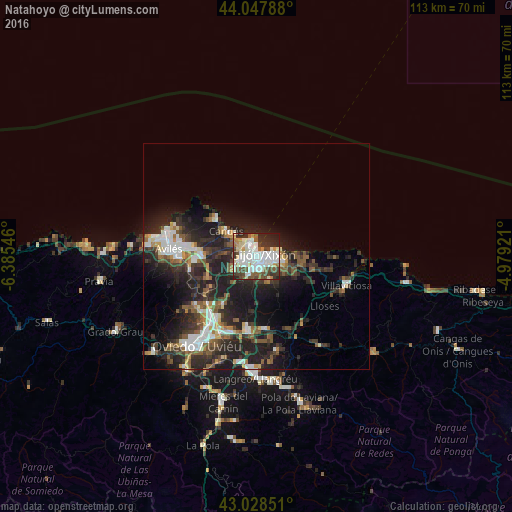
Analysis of Natahoyo night lights 2016
Square area 10x10 km:
 21.9%
21.9%90-99
25.08%80-89
4.44%70-79
4.92%60-69
4.29%50-59
6.67%40-49
10.16%30-39
8.57%20-29
11.59%10-19
2.38%0-9
0%Square area 50x50 km:
2.86%90-99
2.97%80-89
1.17%70-79
1.29%60-69
1.5%50-59
3.43%40-49
1.98%30-39
3.86%20-29
8.76%10-19
11%0-9
61.17%Clear (daylight) street map image can be seen on geolist.org.
Map coordinates:
44° 2' 52.4" North, 6° 23' 7.7" West
43° 32' 25.3" North, 5° 40' 56.4" West
43° 1' 42.6" North, 4° 58' 45.2" West
Some cities around Natahoyo sort by population:
• Gijón
1.8 km =1.1 mi,  107°
107°
• Avilés
19.6 km =12.2 mi,  274°
274°
• Corvera de Asturias
16.7 km =10.4 mi, 268°
• Villaviciosa
20.9 km =13 mi, 108°
• Lugones
18.5 km =11.5 mi,  214°
214°
• Llanera
21.9 km =13.6 mi,  246°
246°
• Pola de Siero
16.5 km =10.3 mi,  174°
174°
• Luanco
12.2 km =7.6 mi,  312°
312°
8629192 (p: 20,000)
Sources (retrieved 2019-11-25):
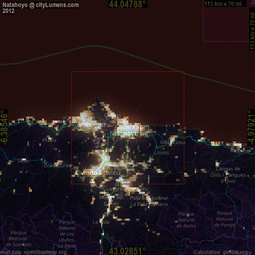
» Earth at Night: Flat Maps 2012, 2016