Mazarrón night lights from space
Night Light of Mazarrón (Murcia) from space (Spain) Src. Average luminocity for 10x10km area is 27.8605% and for 50x50km: 9.2133%.
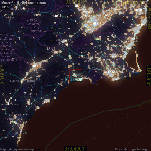
Analysis of Mazarrón night lights 2016
Square area 10x10 km:
 3.91%
3.91%90-99
4.08%80-89
4.59%70-79
3.06%60-69
3.74%50-59
1.7%40-49
1.87%30-39
3.4%20-29
7.65%10-19
35.88%0-9
30.1%Square area 50x50 km:
0.59%90-99
0.93%80-89
0.94%70-79
1.09%60-69
1.62%50-59
1.02%40-49
1.32%30-39
1.93%20-29
2.05%10-19
8.51%0-9
79.98%Clear (daylight) street map image can be seen on geolist.org.
Map coordinates:
38° 9' 15.1" North, 2° 1' 5" West
37° 35' 57.1" North, 1° 18' 53.7" West
37° 2' 24.1" North, 0° 36' 42.5" West
Some cities around Mazarrón sort by population:
• Cartagena
29 km =18 mi,  88°
88°
• Lorca
35 km =21.7 mi,  283°
283°
• Águilas
31.9 km =19.8 mi,  227°
227°
• Totana
25 km =15.5 mi,  318°
318°
• Alhama de Murcia
29.6 km =18.4 mi,  340°
340°
• Fuente-Álamo de Murcia
18.9 km =11.7 mi,  42°
42°
• El Plan
26.9 km =16.7 mi,  77°
77°
• Los Gabatos
28 km =17.4 mi, 82°
2513983 (p: 35,221)
Sources (retrieved 2019-11-25):
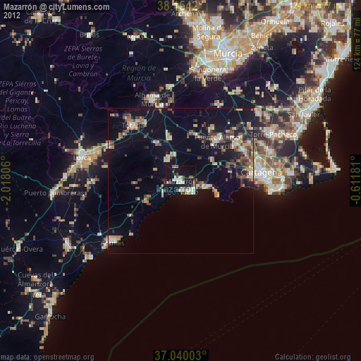
» Earth at Night: Flat Maps 2012, 2016