Totana night lights from space
Night Light of Totana (Murcia) from space (Spain) Src. Average luminocity for 10x10km area is 21.8707% and for 50x50km: 10.3005%.
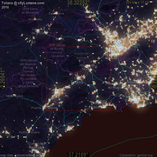
Analysis of Totana night lights 2016
Square area 10x10 km:
 1.02%
1.02%90-99
1.7%80-89
1.19%70-79
3.91%60-69
5.78%50-59
4.76%40-49
4.59%30-39
3.06%20-29
2.38%10-19
13.44%0-9
58.16%Square area 50x50 km:
0.7%90-99
1.18%80-89
0.95%70-79
1.18%60-69
2.38%50-59
1.5%40-49
1.09%30-39
1.81%20-29
2.21%10-19
9.27%0-9
77.73%Clear (daylight) street map image can be seen on geolist.org.
Map coordinates:
38° 19' 21.1" North, 2° 12' 19.5" West
37° 46' 7.7" North, 1° 30' 8.2" West
37° 12' 39.2" North, 0° 47' 57" West
Some cities around Totana sort by population:
• Lorca
20.6 km =12.8 mi,  238°
238°
• Alcantarilla
33.5 km =20.8 mi,  48°
48°
• Mazarrón
25 km =15.5 mi,  138°
138°
• Alhama de Murcia
11.4 km =7.1 mi,  36°
36°
• Mula
30.3 km =18.8 mi,  2°
2°
• Bullas
34.3 km =21.3 mi,  334°
334°
• Sangonera la Verde
31.4 km =19.5 mi,  55°
55°
• Fuente-Álamo de Murcia
29.7 km =18.5 mi,  99°
99°
2510224 (p: 29,211)
Sources (retrieved 2019-11-25):
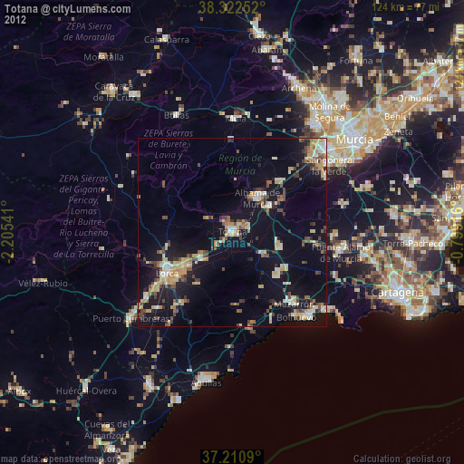
» Earth at Night: Flat Maps 2012, 2016