Águilas night lights from space
Night Light of Águilas (Murcia) from space (Spain) Src. Average luminocity for 10x10km area is 19.5% and for 50x50km: 6.1514%.
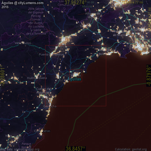
Analysis of Águilas night lights 2016
Square area 10x10 km:
 2.92%
2.92%90-99
3.25%80-89
2.27%70-79
3.9%60-69
1.46%50-59
1.79%40-49
1.3%30-39
0.81%20-29
1.14%10-19
13.8%0-9
67.37%Square area 50x50 km:
0.49%90-99
0.69%80-89
0.66%70-79
0.61%60-69
1.02%50-59
0.84%40-49
0.79%30-39
0.93%20-29
1.14%10-19
5.73%0-9
87.11%Clear (daylight) street map image can be seen on geolist.org.
Map coordinates:
37° 57' 45.9" North, 2° 17' 9.6" West
37° 24' 22.7" North, 1° 34' 58.4" West
36° 50' 44.5" North, 0° 52' 47.1" West
Some cities around Águilas sort by population:
• Lorca
31.3 km =19.4 mi,  340°
340°
• Mazarrón
31.9 km =19.8 mi,  47°
47°
• Huércal-Overa
31.9 km =19.8 mi,  266°
266°
• Vera
30.4 km =18.9 mi,  233°
233°
• Puerto Lumbreras
26.6 km =16.5 mi,  311°
311°
• Cuevas del Almanzora
29.1 km =18.1 mi,  245°
245°
• Pulpí
14.3 km =8.9 mi, 272°
• Garrucha
32.8 km =20.4 mi,  220°
220°
2522333 (p: 34,533)
Sources (retrieved 2019-11-25):
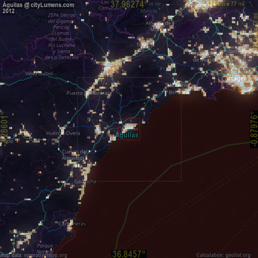
» Earth at Night: Flat Maps 2012, 2016