Manacor night lights from space
Night Light of Manacor (Balearic Islands) from space (Spain) Src. Average luminocity for 10x10km area is 8.6558% and for 50x50km: 4.6388%.

Analysis of Manacor night lights 2016
Square area 10x10 km:
 0.49%
0.49%90-99
2.11%80-89
1.3%70-79
0%60-69
1.3%50-59
1.3%40-49
1.79%30-39
0.81%20-29
1.95%10-19
0.16%0-9
88.8%Square area 50x50 km:
0.22%90-99
0.63%80-89
0.63%70-79
0.5%60-69
0.71%50-59
1.04%40-49
0.56%30-39
0.7%20-29
0.54%10-19
0.77%0-9
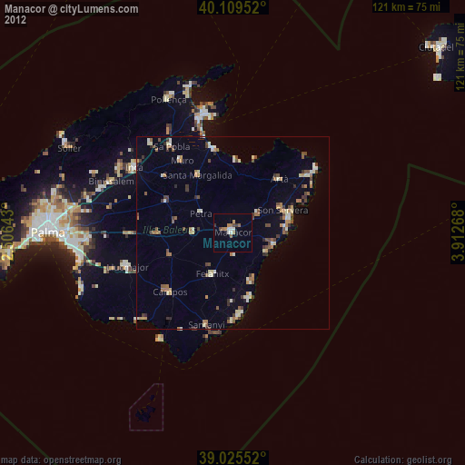
93.69%Clear (daylight) street map image can be seen on geolist.org.
Map coordinates:
40° 6' 34.3" North, 2° 30' 23.1" East
39° 34' 10.7" North, 3° 12' 34.4" East
39° 1' 31.9" North, 3° 54' 45.6" East
Some cities around Manacor sort by population:
• Felanitx
12.3 km =7.6 mi,  205°
205°
• Son Servera
14.1 km =8.8 mi,  66°
66°
• Santa Margalida
17.3 km =10.7 mi,  327°
327°
• Campos
22.4 km =13.9 mi,  226°
226°
• Porto Cristo
11.1 km =6.9 mi,  107°
107°
• Can Picafort
22.3 km =13.9 mi,  347°
347°
• Artà
18.2 km =11.3 mi,  41°
41°
• Muro
22.8 km =14.2 mi,  324°
324°
2514216 (p: 40,548)
Sources (retrieved 2019-11-25):
» Earth at Night: Flat Maps 2012, 2016