Son Servera night lights from space
Night Light of Son Servera (Balearic Islands) from space (Spain) Src. Average luminocity for 10x10km area is 15.1867% and for 50x50km: 3.7495%.
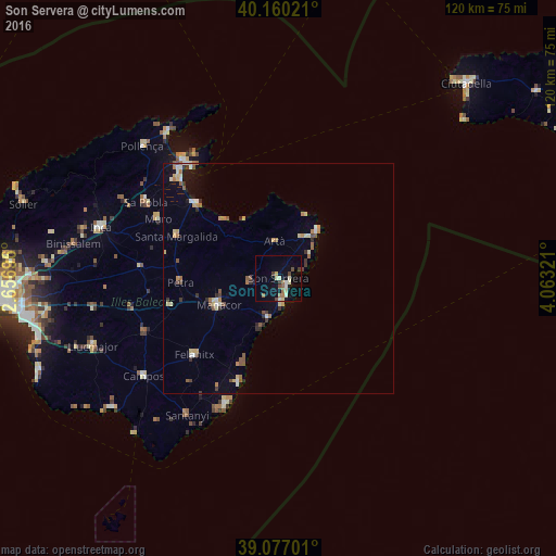
Analysis of Son Servera night lights 2016
Square area 10x10 km:
 0.65%
0.65%90-99
2.92%80-89
2.92%70-79
0.65%60-69
2.76%50-59
1.14%40-49
3.41%30-39
0.97%20-29
0.16%10-19
8.12%0-9
76.3%Square area 50x50 km:
0.24%90-99
0.56%80-89
0.58%70-79
0.37%60-69
0.6%50-59
0.61%40-49
0.44%30-39
0.46%20-29
0.39%10-19
1.45%0-9
94.32%Clear (daylight) street map image can be seen on geolist.org.
Map coordinates:
40° 9' 36.8" North, 2° 39' 25.1" East
39° 37' 14.6" North, 3° 21' 36.3" East
39° 4' 37.2" North, 4° 3' 47.6" East
Some cities around Son Servera sort by population:
• Manacor
14.1 km =8.8 mi,  246°
246°
• Felanitx
24.7 km =15.3 mi,  227°
227°
• Capdepera
11.1 km =6.9 mi,  35°
35°
• Santa Margalida
23.8 km =14.8 mi,  292°
292°
• Porto Cristo
9.3 km =5.8 mi,  194°
194°
• Can Picafort
23.8 km =14.8 mi,  312°
312°
• Artà
8.1 km =5 mi,  353°
353°
• Cala Rajada
13.4 km =8.3 mi, 41°
2510799 (p: 12,215)
Sources (retrieved 2019-11-25):
» Earth at Night: Flat Maps 2012, 2016