Llefià night lights from space
Night Light of Llefià (Catalonia) from space (Spain) Src. Average luminocity for 10x10km area is 81.2942% and for 50x50km: 43.5308%.
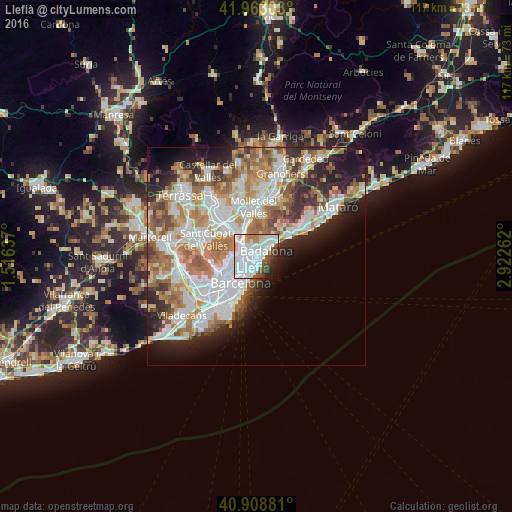
Analysis of Llefià night lights 2016
Square area 10x10 km:
 41.5%
41.5%90-99
23.64%80-89
3.06%70-79
3.91%60-69
2.72%50-59
7.99%40-49
4.42%30-39
3.4%20-29
5.61%10-19
3.74%0-9
0%Square area 50x50 km:
11.5%90-99
10.42%80-89
4.23%70-79
5.3%60-69
8.03%50-59
5.4%40-49
3.63%30-39
3.93%20-29
7.2%10-19
8.51%0-9
31.85%Clear (daylight) street map image can be seen on geolist.org.
Map coordinates:
41° 57' 46.9" North, 1° 30' 58.9" East
41° 26' 17" North, 2° 13' 10.2" East
40° 54' 31.7" North, 2° 55' 21.4" East
Some cities around Llefià sort by population:
• Badalona
2.7 km =1.7 mi,  60°
60°
• Sant Andreu
2.5 km =1.6 mi,  263°
263°
• Santa Coloma de Gramenet
1.8 km =1.1 mi,  327°
327°
• Barri de Sant Andreu
2.4 km =1.5 mi,  267°
267°
• Sant Adrià de Besòs
0.8 km =0.5 mi,  185°
185°
• la Verneda i la Pau
2.1 km =1.3 mi,  221°
221°
• el Bon Pastor
1.5 km =0.9 mi, 265°
• la Trinitat Vella
2.7 km =1.7 mi,  304°
304°
6943537 (p: 43,827)
Sources (retrieved 2019-11-25):
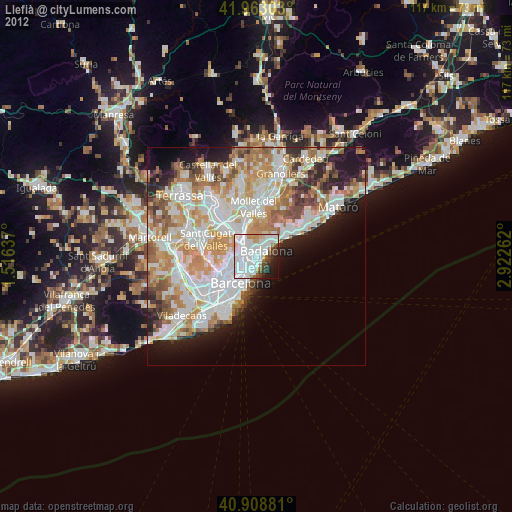
» Earth at Night: Flat Maps 2012, 2016