Linares night lights from space
Night Light of Linares (Andalusia) from space (Spain) Src. Average luminocity for 10x10km area is 26.0341% and for 50x50km: 5.1298%.
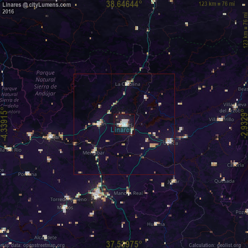
Analysis of Linares night lights 2016
Square area 10x10 km:
 5.68%
5.68%90-99
6.66%80-89
1.62%70-79
2.6%60-69
0.97%50-59
0.65%40-49
1.3%30-39
2.27%20-29
6.17%10-19
36.04%0-9
36.04%Square area 50x50 km:
0.58%90-99
0.81%80-89
0.58%70-79
0.76%60-69
0.62%50-59
0.56%40-49
0.39%30-39
0.57%20-29
0.61%10-19
2.04%0-9
92.49%Clear (daylight) street map image can be seen on geolist.org.
Map coordinates:
38° 38' 47.2" North, 4° 20' 20.9" West
38° 5' 42.7" North, 3° 38' 9.7" West
37° 32' 23.1" North, 2° 55' 58.4" West
Some cities around Linares sort by population:
• Úbeda
25 km =15.5 mi,  111°
111°
• Bailén
12.4 km =7.7 mi,  270°
270°
• Baeza
18.3 km =11.4 mi,  127°
127°
• La Carolina
20.1 km =12.5 mi,  5°
5°
• Mancha Real
34.4 km =21.4 mi,  176°
176°
• Mengibar
20.6 km =12.8 mi,  227°
227°
• Torreperogil
31 km =19.3 mi,  102°
102°
• Navas de San Juan
29.7 km =18.5 mi,  70°
70°
2515045 (p: 61,338)
Sources (retrieved 2019-11-25):
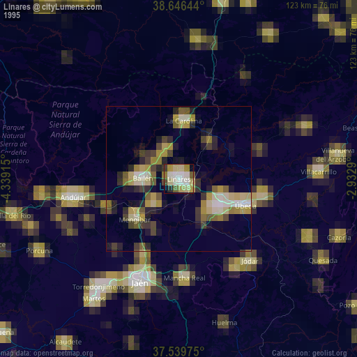
» NASA, Earths city lights 1995
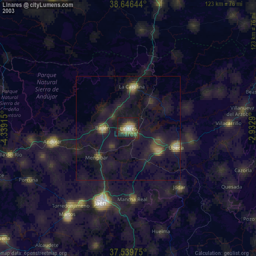
» NASA city lights 2003
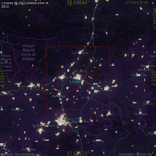
» Earth at Night: Flat Maps 2012, 2016