La Carolina night lights from space
Night Light of La Carolina (Andalusia) from space (Spain) Src. Average luminocity for 10x10km area is 9.7143% and for 50x50km: 3.1805%.
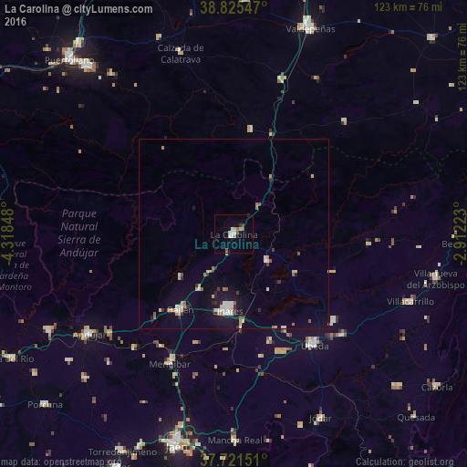
Analysis of La Carolina night lights 2016
Square area 10x10 km:
 1.36%
1.36%90-99
1.53%80-89
2.55%70-79
0%60-69
0.85%50-59
1.7%40-49
0.85%30-39
1.19%20-29
0.51%10-19
0%0-9
89.46%Square area 50x50 km:
0.45%90-99
0.49%80-89
0.41%70-79
0.3%60-69
0.43%50-59
0.35%40-49
0.17%30-39
0.31%20-29
0.51%10-19
1.61%0-9
94.97%Clear (daylight) street map image can be seen on geolist.org.
Map coordinates:
38° 49' 31.7" North, 4° 19' 6.5" West
38° 16' 32.1" North, 3° 36' 55.3" West
37° 43' 17.4" North, 2° 54' 44" West
Some cities around La Carolina sort by population:
• Linares
20.1 km =12.5 mi,  185°
185°
• Andújar
46.3 km =28.8 mi,  235°
235°
• Úbeda
36.2 km =22.5 mi,  143°
143°
• Bailén
24.5 km =15.2 mi,  215°
215°
• Baeza
33.8 km =21 mi,  158°
158°
• Mengibar
38 km =23.6 mi,  206°
206°
• Torreperogil
39 km =24.2 mi,  133°
133°
• Navas de San Juan
28.1 km =17.5 mi,  111°
111°
2516088 (p: 15,880)
Sources (retrieved 2019-11-25):
» Earth at Night: Flat Maps 2012, 2016