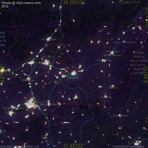
Úbeda night lights from space
Night Light of Úbeda (Andalusia) from space (Spain) Src. Average luminocity for 10x10km area is 15.2305% and for 50x50km: 4.2573%.
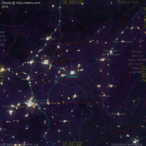
Analysis of Úbeda night lights 2016
Square area 10x10 km:
 2.76%
2.76%90-99
3.41%80-89
0.32%70-79
0.49%60-69
1.95%50-59
1.46%40-49
1.3%30-39
1.3%20-29
1.14%10-19
6.66%0-9
79.22%Square area 50x50 km:
0.48%90-99
0.74%80-89
0.46%70-79
0.6%60-69
0.58%50-59
0.47%40-49
0.4%30-39
0.48%20-29
0.51%10-19
1.78%0-9
93.49%Clear (daylight) street map image can be seen on geolist.org.
Map coordinates:
38° 33' 54.5" North, 4° 4' 25" West
38° 0' 47.8" North, 3° 22' 13.8" West
37° 27' 26" North, 2° 40' 2.5" West
Some cities around Úbeda sort by population:
• Linares
25 km =15.5 mi,  291°
291°
• Baeza
9.1 km =5.7 mi,  256°
256°
• Jódar
19.3 km =12 mi,  175°
175°
• Villacarrillo
27.5 km =17.1 mi,  65°
65°
• Torreperogil
7.5 km =4.7 mi, 70°
• Quesada
32.7 km =20.3 mi,  125°
125°
• Peal de Becerro
24.5 km =15.2 mi,  116°
116°
• Navas de San Juan
19.6 km =12.2 mi,  14°
14°
2510116 (p: 35,649)
Sources (retrieved 2019-11-25):
» Earth at Night: Flat Maps 2012, 2016