La Rinconada night lights from space
Night Light of La Rinconada (Andalusia) from space (Spain) Src. Average luminocity for 10x10km area is 50.5925% and for 50x50km: 26.3565%.
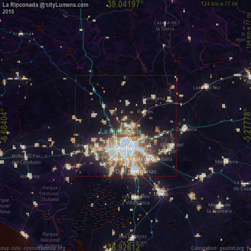
Analysis of La Rinconada night lights 2016
Square area 10x10 km:
 4.22%
4.22%90-99
6.98%80-89
5.03%70-79
7.14%60-69
15.26%50-59
10.06%40-49
12.01%30-39
8.44%20-29
16.4%10-19
14.45%0-9
0%Square area 50x50 km:
4.83%90-99
4.34%80-89
3.91%70-79
3.46%60-69
4.3%50-59
2.83%40-49
3.13%30-39
4.26%20-29
5.45%10-19
11.49%0-9
52%Clear (daylight) street map image can be seen on geolist.org.
Map coordinates:
38° 2' 31.1" North, 6° 41' 2.5" West
37° 29' 10.1" North, 5° 58' 51.3" West
36° 55' 34" North, 5° 16' 40" West
Some cities around La Rinconada sort by population:
• Sevilla
11.5 km =7.1 mi,  176°
176°
• Camas
10.4 km =6.5 mi,  206°
206°
• La Algaba
3.7 km =2.3 mi,  226°
226°
• Brenes
12 km =7.5 mi,  53°
53°
• Guillena
9.1 km =5.7 mi,  313°
313°
• Alcalá del Río
3.5 km =2.2 mi,  358°
358°
• Santiponce
7.7 km =4.8 mi,  223°
223°
• Valencina de la Concepción
11.3 km =7 mi, 226°
2515562 (p: 35,928)
Sources (retrieved 2019-11-25):
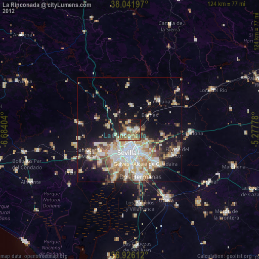
» Earth at Night: Flat Maps 2012, 2016