Icod de los Vinos night lights from space
Night Light of Icod de los Vinos (Canary Islands) from space (Spain) Src. Average luminocity for 10x10km area is 29.3929% and for 50x50km: 8.3547%.
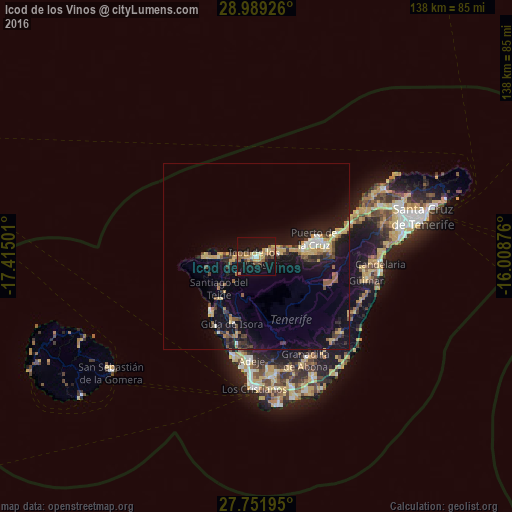
Analysis of Icod de los Vinos night lights 2016
Square area 10x10 km:
 0.99%
0.99%90-99
1.39%80-89
5.36%70-79
7.94%60-69
6.15%50-59
1.98%40-49
7.14%30-39
1.98%20-29
0.79%10-19
48.41%0-9
17.86%Square area 50x50 km:
0.43%90-99
0.71%80-89
1.51%70-79
1.45%60-69
0.87%50-59
1.06%40-49
1.05%30-39
1.41%20-29
1.59%10-19
9.7%0-9
80.22%Clear (daylight) street map image can be seen on geolist.org.
Map coordinates:
28° 59' 21.3" North, 17° 24' 54" West
28° 22' 20.7" North, 16° 42' 42.8" West
27° 45' 7" North, 16° 0' 31.5" West
Some cities around Icod de los Vinos sort by population:
• Los Realejos
12.7 km =7.9 mi,  83°
83°
• Realejo Alto
12.3 km =7.6 mi,  87°
87°
• Santiago del Teide
13.4 km =8.3 mi,  229°
229°
• Garachico
5 km =3.1 mi,  271°
271°
• Los Silos
10.2 km =6.3 mi, 266°
• La Guancha
5.9 km =3.7 mi, 89°
• Buenavista del Norte
14.6 km =9.1 mi, 270°
• San Juan de la Rambla
6.4 km =4 mi,  69°
69°
2516474 (p: 24,024)
Sources (retrieved 2019-11-25):
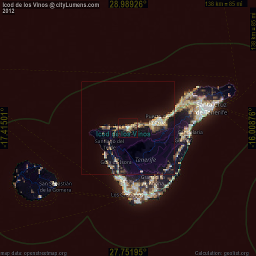
» Earth at Night: Flat Maps 2012, 2016