Grao de Murviedro night lights from space
Night Light of Grao de Murviedro (Valencia) from space (Spain) Src. Average luminocity for 10x10km area is 46.8523% and for 50x50km: 23.0025%.
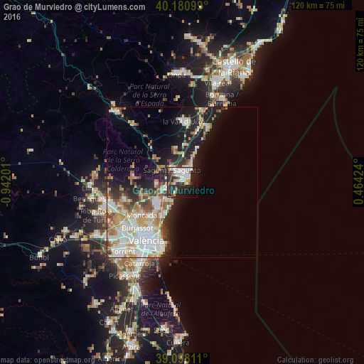
Analysis of Grao de Murviedro night lights 2016
Square area 10x10 km:
 12.82%
90-99
12.5%80-89
2.27%70-79
4.22%60-69
1.95%50-59
3.08%40-49
5.52%30-39
6.98%20-29
23.05%10-19
19.32%0-9
8.28%Square area 50x50 km:
5.56%90-99
5.12%80-89
2.36%70-79
2.82%60-69
3.3%50-59
2.07%40-49
2.19%30-39
2.2%20-29
5.24%10-19
9.68%0-9
59.46%Clear (daylight) street map image can be seen on geolist.org.
Map coordinates:
40° 10' 51.6" North, 0° 56' 31.2" West
39° 38' 30" North, 0° 14' 20" West
39° 5' 53.2" North, 0° 27' 51.3" East
Some cities around Grao de Murviedro sort by population:
• Sagunto
5.2 km =3.2 mi,  332°
332°
• Puçol
5.9 km =3.7 mi,  242°
242°
• Massamagrell
11.6 km =7.2 mi,  224°
224°
• Meliana
14.5 km =9 mi,  213°
213°
• Puig
8.1 km =5 mi, 223°
• La Pobla de Farnals
9.3 km =5.8 mi,  204°
204°
• Foios
15.4 km =9.6 mi, 218°
• Almenara
12.2 km =7.6 mi,  8°
8°
2567529 (p: 62,368)
Sources (retrieved 2019-11-25):
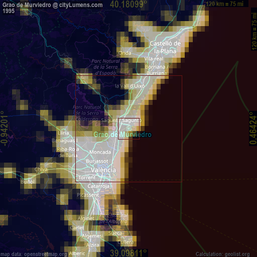
» NASA, Earths city lights 1995
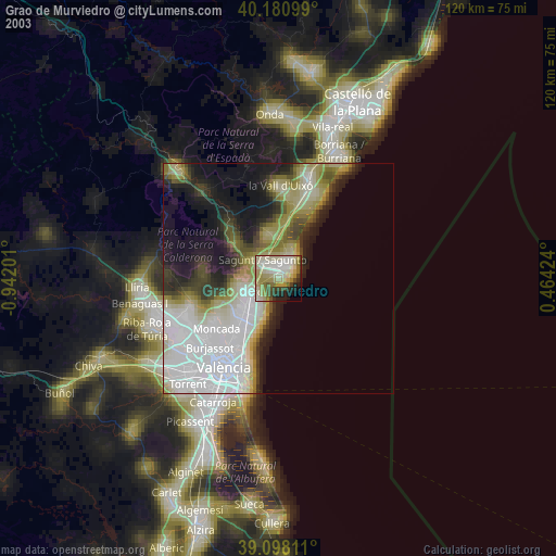
» NASA city lights 2003
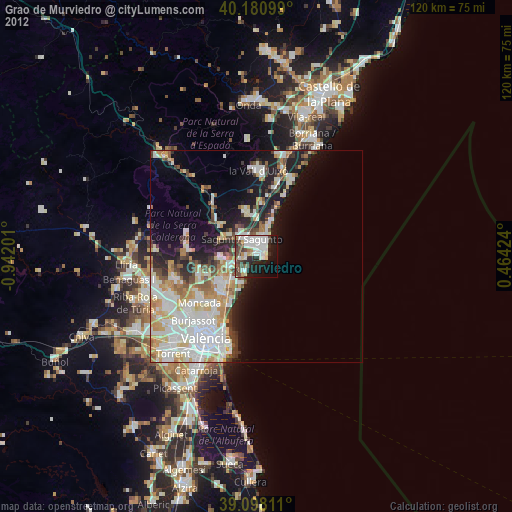
» Earth at Night: Flat Maps 2012, 2016