Gasteiz / Vitoria night lights from space
Night Light of Gasteiz / Vitoria (Basque Country) from space (Spain) Src. Average luminocity for 10x10km area is 62.527% and for 50x50km: 8.5666%.
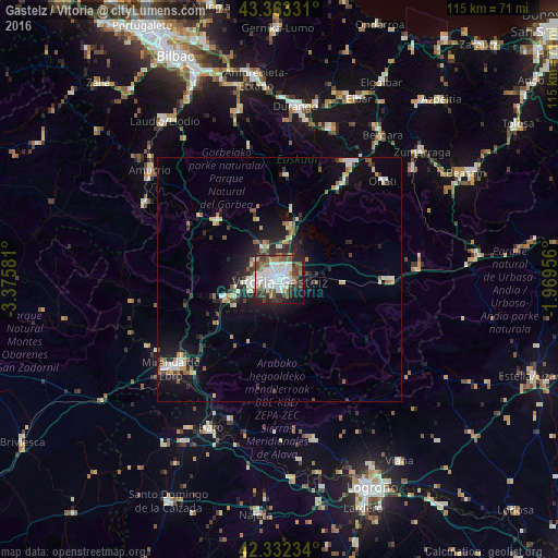
Analysis of Gasteiz / Vitoria night lights 2016
Square area 10x10 km:
 24.76%
90-99
12.7%80-89
1.9%70-79
4.44%60-69
6.51%50-59
8.89%40-49
7.94%30-39
10.48%20-29
12.38%10-19
9.21%0-9
0.79%Square area 50x50 km:
1.52%90-99
1.35%80-89
0.85%70-79
0.71%60-69
0.89%50-59
1.14%40-49
0.85%30-39
1.32%20-29
2.63%10-19
6.06%0-9
82.69%Clear (daylight) street map image can be seen on geolist.org.
Map coordinates:
43° 21' 47.9" North, 3° 22' 32.9" West
42° 50' 59.9" North, 2° 40' 21.6" West
42° 19' 56.4" North, 1° 58' 10.4" West
Some cities around Gasteiz / Vitoria sort by population:
• Miranda de Ebro
28.8 km =17.9 mi,  230°
230°
• Durango
35.9 km =22.3 mi,  5°
5°
• Arrasate / Mondragón
28.1 km =17.5 mi,  31°
31°
• Haro
33.6 km =20.9 mi,  205°
205°
• Oñati
29.5 km =18.3 mi,  46°
46°
• Amurrio
34.7 km =21.6 mi,  309°
309°
• Elorrio
32.9 km =20.4 mi,  19°
19°
• Aretxabaleta
24.6 km =15.3 mi, 33°
3104499 (p: 235,661)
Sources (retrieved 2019-11-25):
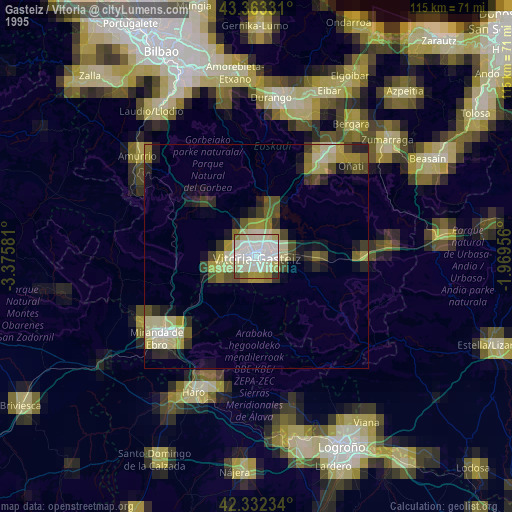
» NASA, Earths city lights 1995
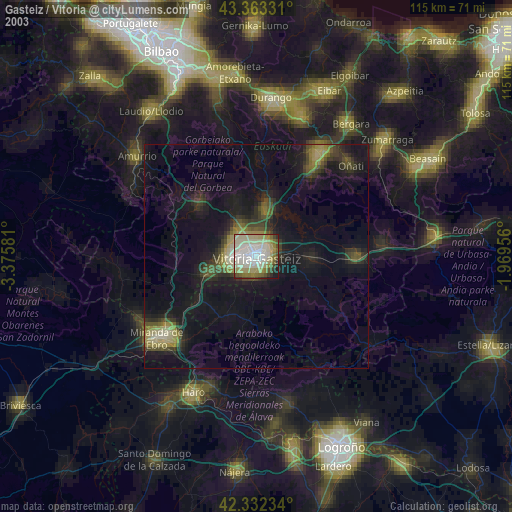
» NASA city lights 2003
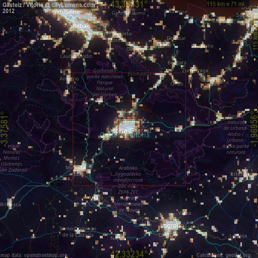
» Earth at Night: Flat Maps 2012, 2016