Durango night lights from space
Night Light of Durango (Basque Country) from space (Spain) Src. Average luminocity for 10x10km area is 29.2152% and for 50x50km: 14.361%.
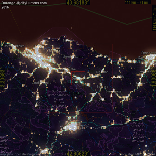
Analysis of Durango night lights 2016
Square area 10x10 km:
 5.45%
5.45%90-99
7.12%80-89
1.36%70-79
2.12%60-69
1.97%50-59
3.79%40-49
2.27%30-39
3.79%20-29
3.33%10-19
46.36%0-9
22.42%Square area 50x50 km:
1.57%90-99
2.32%80-89
1.54%70-79
1.5%60-69
2.15%50-59
2.01%40-49
1.52%30-39
2.04%20-29
3.76%10-19
11.69%0-9
69.9%Clear (daylight) street map image can be seen on geolist.org.
Map coordinates:
43° 40' 54.8" North, 3° 20' 12.9" West
43° 10' 16.5" North, 2° 38' 1.7" West
42° 39' 22.6" North, 1° 55' 50.4" West
Some cities around Durango sort by population:
• Galdakao
18.2 km =11.3 mi,  291°
291°
• Eibar
13.2 km =8.2 mi,  83°
83°
• Arrasate / Mondragón
16.7 km =10.4 mi,  135°
135°
• Amorebieta
9.5 km =5.9 mi,  302°
302°
• Ermua
10.8 km =6.7 mi, 80°
• Gernika-Lumo
16.7 km =10.4 mi,  346°
346°
• Elorrio
8.9 km =5.5 mi,  121°
121°
• Aretxabaleta
18.5 km =11.5 mi,  145°
145°
3123773 (p: 28,229)
Sources (retrieved 2019-11-25):
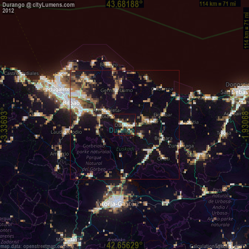
» Earth at Night: Flat Maps 2012, 2016