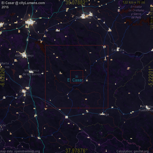
El Casar night lights from space
Night Light of El Casar (Extremadura) from space (Spain) Src. Average luminocity for 10x10km area is 0% and for 50x50km: 0.7003%.
Analysis of El Casar night lights 2016
Square area 10x10 km:
 0%
0%90-99
0%80-89
0%70-79
0%60-69
0%50-59
0%40-49
0%30-39
0%20-29
0%10-19
0%0-9
100%Square area 50x50 km:
0%90-99
0.03%80-89
0.21%70-79
0.13%60-69
0.13%50-59
0.14%40-49
0.1%30-39
0.13%20-29
0.16%10-19
0.08%0-9
98.87%Clear (daylight) street map image can be seen on geolist.org.
Map coordinates:
39° 4' 43.8" North, 6° 37' 41.7" West
38° 31' 51.2" North, 5° 55' 30.5" West
37° 58' 43.5" North, 5° 13' 19.2" West
Some cities around El Casar sort by population:
• Zafra
44.4 km =27.6 mi,  254°
254°
• Villafranca de los Barros
36.1 km =22.4 mi,  275°
275°
• Azuaga
36.2 km =22.5 mi,  144°
144°
• Los Santos de Maimona
40.9 km =25.4 mi,  257°
257°
• Guareña
39.6 km =24.6 mi,  337°
337°
• Castuera
40 km =24.9 mi,  55°
55°
• Llerena
34 km =21.1 mi,  193°
193°
• Quintana de la Serena
32.5 km =20.2 mi,  42°
42°
2518597 (p: 10,031)
Sources (retrieved 2019-11-25):
» Earth at Night: Flat Maps 2012, 2016