Azuaga night lights from space
Night Light of Azuaga (Extremadura) from space (Spain) Src. Average luminocity for 10x10km area is 3.9558% and for 50x50km: 0.7431%.
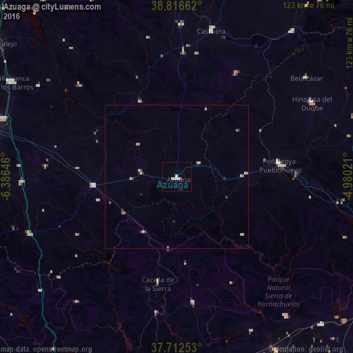
Analysis of Azuaga night lights 2016
Square area 10x10 km:
 0.34%
0.34%90-99
1.53%80-89
0.85%70-79
0.68%60-69
0%50-59
0%40-49
0.68%30-39
0%20-29
0%10-19
0%0-9
95.92%Square area 50x50 km:
0.01%90-99
0.13%80-89
0.27%70-79
0.07%60-69
0.14%50-59
0.07%40-49
0.11%30-39
0.07%20-29
0.14%10-19
0.03%0-9
98.96%Clear (daylight) street map image can be seen on geolist.org.
Map coordinates:
38° 48' 59.8" North, 6° 23' 11.3" West
38° 16' 0" North, 5° 40' 60" West
37° 42' 45.1" North, 4° 58' 48.8" West
Some cities around Azuaga sort by population:
• Peñarroya-Pueblonuevo
36.6 km =22.7 mi,  84°
84°
• El Casar
36.2 km =22.5 mi,  324°
324°
• Hinojosa del Duque
53.5 km =33.2 mi,  60°
60°
• Castuera
53.1 km =33 mi,  13°
13°
• Constantina
44.9 km =27.9 mi,  172°
172°
• Llerena
29.3 km =18.2 mi,  262°
262°
• Fuente Obejuna
23.3 km =14.5 mi,  90°
90°
• Quintana de la Serena
53.3 km =33.1 mi,  1°
1°
2521436 (p: 8,242)
Sources (retrieved 2019-11-25):
» Earth at Night: Flat Maps 2012, 2016