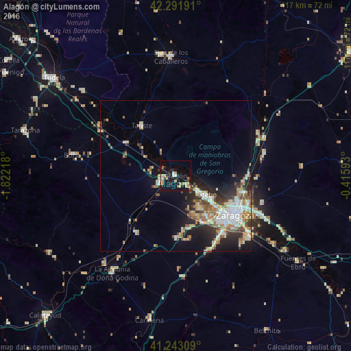
Alagón night lights from space
Night Light of Alagón (Aragon) from space (Spain) Src. Average luminocity for 10x10km area is 21.2078% and for 50x50km: 13.4895%.
Analysis of Alagón night lights 2016
Square area 10x10 km:
 2.11%
2.11%90-99
2.76%80-89
4.38%70-79
3.57%60-69
1.79%50-59
1.62%40-49
0.65%30-39
1.62%20-29
5.19%10-19
30.19%0-9
46.1%Square area 50x50 km:
2.63%90-99
2.29%80-89
1.64%70-79
1.56%60-69
2.01%50-59
1.77%40-49
1.29%30-39
1.61%20-29
3.54%10-19
7.14%0-9
74.53%Clear (daylight) street map image can be seen on geolist.org.
Map coordinates:
42° 17' 30.9" North, 1° 49' 19.8" West
41° 46' 10.7" North, 1° 7' 8.6" West
41° 14' 35.1" North, 0° 24' 57.3" West
Some cities around Alagón sort by population:
• Zaragoza
23.7 km =14.7 mi,  122°
122°
• Delicias
22.1 km =13.7 mi,  127°
127°
• Oliver-Valdefierro
20.8 km =12.9 mi, 132°
• Almozara
21.7 km =13.5 mi, 123°
• Montecanal
21.6 km =13.4 mi,  136°
136°
• Utebo
12.1 km =7.5 mi, 124°
• Tauste
19.9 km =12.4 mi,  325°
325°
• Zuera
29.4 km =18.3 mi,  68°
68°
3130739 (p: 6,141)
Sources (retrieved 2019-11-25):
» Earth at Night: Flat Maps 2012, 2016