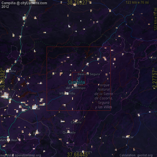
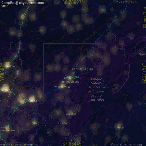
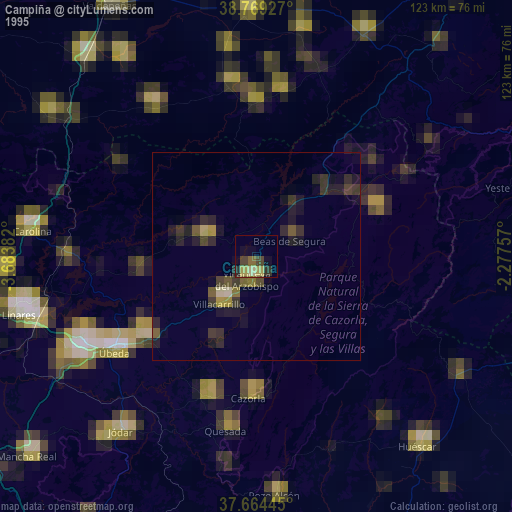
Campiña night lights from space
Night Light of Campiña (Andalusia) from space (Spain) Src. Average luminocity for 10x10km area is 3.0017% and for 50x50km: 1.5801%.
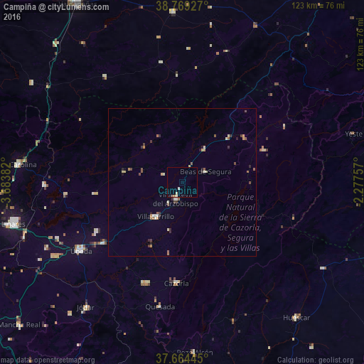
Analysis of Campiña night lights 2016
Square area 10x10 km:
 0.51%
0.51%90-99
0.68%80-89
0.51%70-79
0.34%60-69
0%50-59
0%40-49
0.34%30-39
0%20-29
0%10-19
0%0-9
97.62%Square area 50x50 km:
0.09%90-99
0.27%80-89
0.22%70-79
0.17%60-69
0.24%50-59
0.27%40-49
0.27%30-39
0.3%20-29
0.28%10-19
0.11%0-9
97.78%Clear (daylight) street map image can be seen on geolist.org.
Map coordinates:
38° 46' 9.4" North, 3° 41' 1.8" West
38° 13' 8.3" North, 2° 58' 50.5" West
37° 39' 52" North, 2° 16' 39.3" West
Some cities around Campiña sort by population:
• Úbeda
41.1 km =25.5 mi,  236°
236°
• Villacarrillo
14.7 km =9.1 mi,  218°
218°
• Villanueva del Arzobispo
6.1 km =3.8 mi,  202°
202°
• Cazorla
33.9 km =21.1 mi,  183°
183°
• Torreperogil
33.9 km =21.1 mi,  232°
232°
• Peal de Becerro
36.1 km =22.4 mi, 199°
• Beas de Segura
8.8 km =5.5 mi,  65°
65°
• Navas de San Juan
29.6 km =18.4 mi,  262°
262°
2520425 (p: 67,904)
Sources (retrieved 2019-11-25):
» NASA, Earths city lights 1995
» NASA city lights 2003
» Earth at Night: Flat Maps 2012, 2016