Cazorla night lights from space
Night Light of Cazorla (Andalusia) from space (Spain) Src. Average luminocity for 10x10km area is 4.5276% and for 50x50km: 1.3156%.
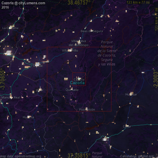
Analysis of Cazorla night lights 2016
Square area 10x10 km:
 0.32%
0.32%90-99
0.81%80-89
0.81%70-79
0%60-69
1.3%50-59
0.32%40-49
0.97%30-39
0.49%20-29
0.81%10-19
0.65%0-9
93.51%Square area 50x50 km:
0.1%90-99
0.19%80-89
0.12%70-79
0.12%60-69
0.35%50-59
0.18%40-49
0.23%30-39
0.23%20-29
0.29%10-19
0.14%0-9
98.07%Clear (daylight) street map image can be seen on geolist.org.
Map coordinates:
38° 28' 3.3" North, 3° 42' 23.6" West
37° 54' 53.8" North, 3° 0' 12.3" West
37° 21' 29.3" North, 2° 18' 1.1" West
Some cities around Cazorla sort by population:
• Campiña
33.9 km =21.1 mi,  3°
3°
• Jódar
31.7 km =19.7 mi,  254°
254°
• Villacarrillo
23.4 km =14.5 mi,  342°
342°
• Villanueva del Arzobispo
28.2 km =17.5 mi,  359°
359°
• Torreperogil
28.5 km =17.7 mi,  298°
298°
• Quesada
9.6 km =6 mi,  214°
214°
• Peal de Becerro
10.4 km =6.5 mi,  269°
269°
• Pozo Alcón
24.4 km =15.2 mi,  165°
165°
2519672 (p: 8,039)
Sources (retrieved 2019-11-25):
» Earth at Night: Flat Maps 2012, 2016