Armilla night lights from space
Night Light of Armilla (Andalusia) from space (Spain) Src. Average luminocity for 10x10km area is 76.3537% and for 50x50km: 12.2115%.
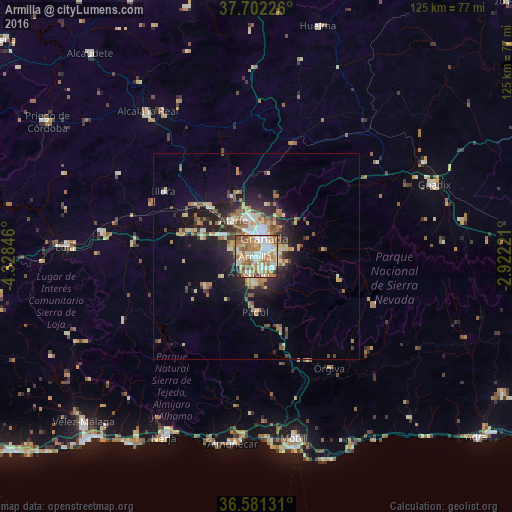

Analysis of Armilla night lights 2016
Square area 10x10 km:
 15.14%
90-99
21.09%80-89
10.71%70-79
13.95%60-69
20.41%50-59
10.71%40-49
2.72%30-39
1.19%20-29
3.91%10-19
0.17%0-9
0%Square area 50x50 km:
1.23%90-99
2.09%80-89
1.61%70-79
1.67%60-69
2.77%50-59
1.64%40-49
1.27%30-39
1.41%20-29
3.45%10-19
6.82%0-9
76.05%Clear (daylight) street map image can be seen on geolist.org.
Map coordinates:
37° 42' 8.1" North, 4° 19' 42.5" West
37° 8' 37.9" North, 3° 37' 31.2" West
36° 34' 52.7" North, 2° 55' 20" West
Some cities around Armilla sort by population:
• Granada
5.2 km =3.2 mi,  18°
18°
• Zubia
4.6 km =2.9 mi,  126°
126°
• Las Gabias
4.1 km =2.5 mi,  256°
256°
• Ogíjares
3.2 km =2 mi,  150°
150°
• Churriana de la Vega
1.9 km =1.2 mi,  273°
273°
• Huétor Vega
4.9 km =3 mi,  88°
88°
• Cúllar-Vega
4.2 km =2.6 mi,  285°
285°
• Gójar
4.7 km =2.9 mi,  158°
158°
2521590 (p: 21,380)
Sources (retrieved 2019-11-25):
» Earth at Night: Flat Maps 2012, 2016