Almendralejo night lights from space
Night Light of Almendralejo (Extremadura) from space (Spain) Src. Average luminocity for 10x10km area is 21.1207% and for 50x50km: 3.6577%.
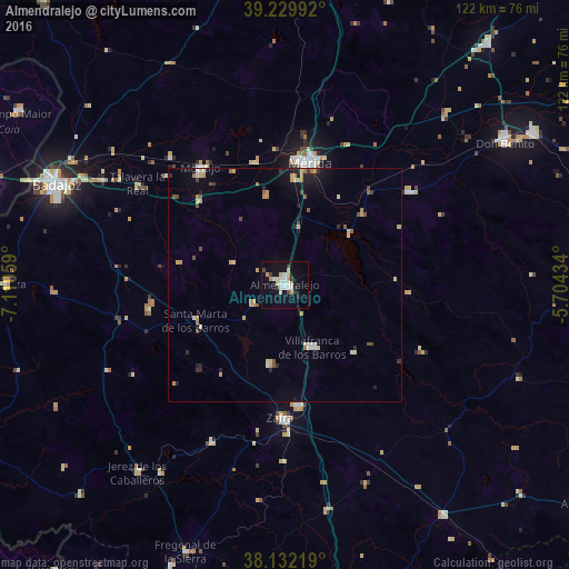
Analysis of Almendralejo night lights 2016
Square area 10x10 km:
 3.4%
3.4%90-99
4.08%80-89
4.08%70-79
3.06%60-69
0.34%50-59
0%40-49
1.7%30-39
2.38%20-29
2.04%10-19
20.75%0-9
58.16%Square area 50x50 km:
0.24%90-99
0.4%80-89
0.73%70-79
0.68%60-69
0.37%50-59
0.27%40-49
0.43%30-39
0.35%20-29
0.51%10-19
2.05%0-9
93.97%Clear (daylight) street map image can be seen on geolist.org.
Map coordinates:
39° 13' 47.7" North, 7° 6' 38.1" West
38° 40' 59.4" North, 6° 24' 26.9" West
38° 7' 55.9" North, 5° 42' 15.6" West
Some cities around Almendralejo sort by population:
• Mérida
26.5 km =16.5 mi,  12°
12°
• Zafra
28.7 km =17.8 mi,  181°
181°
• Villafranca de los Barros
14.8 km =9.2 mi,  155°
155°
• Los Santos de Maimona
26 km =16.2 mi, 175°
• Fuente del Maestre
17.8 km =11.1 mi,  191°
191°
• Calamonte
22.9 km =14.2 mi,  4°
4°
• Puebla de la Calzada
30.2 km =18.8 mi,  321°
321°
• Aceuchal
8 km =5 mi,  239°
239°
2521893 (p: 33,588)
Sources (retrieved 2019-11-25):
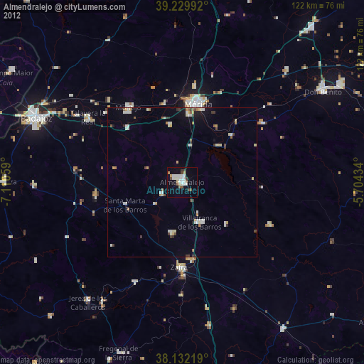
» Earth at Night: Flat Maps 2012, 2016