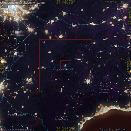
Algodonales night lights from space
Night Light of Algodonales (Andalusia) from space (Spain) Src. Average luminocity for 10x10km area is 2.6834% and for 50x50km: 2.332%.
Analysis of Algodonales night lights 2016
Square area 10x10 km:
 0%
0%90-99
0.49%80-89
0.16%70-79
0.65%60-69
0.81%50-59
0.49%40-49
0.65%30-39
0.65%20-29
0%10-19
0.16%0-9
95.94%Square area 50x50 km:
0.18%90-99
0.35%80-89
0.36%70-79
0.44%60-69
0.4%50-59
0.19%40-49
0.23%30-39
0.36%20-29
0.31%10-19
0.36%0-9
96.8%Clear (daylight) street map image can be seen on geolist.org.
Map coordinates:
37° 26' 26.8" North, 6° 6' 30.6" West
36° 52' 49.6" North, 5° 24' 19.3" West
36° 18' 57.4" North, 4° 42' 8.1" West
Some cities around Algodonales sort by population:
• Ronda
26.2 km =16.3 mi,  125°
125°
• Ubrique
22.8 km =14.2 mi,  189°
189°
• Villamartín
21.4 km =13.3 mi,  263°
263°
• Olvera
13.7 km =8.5 mi,  64°
64°
• Montellano
19.5 km =12.1 mi,  310°
310°
• Puerto Serrano
13.1 km =8.1 mi,  290°
290°
• Prado del Rey
16.9 km =10.5 mi,  232°
232°
• Alcalá del Valle
20.9 km =13 mi,  82°
82°
2522005 (p: 5,672)
Sources (retrieved 2019-11-25):
» Earth at Night: Flat Maps 2012, 2016