Alcalá del Valle night lights from space
Night Light of Alcalá del Valle (Andalusia) from space (Spain) Src. Average luminocity for 10x10km area is 3.612% and for 50x50km: 2.2488%.
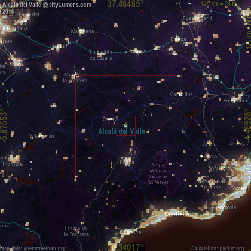
Analysis of Alcalá del Valle night lights 2016
Square area 10x10 km:
 0%
0%90-99
1.14%80-89
0.81%70-79
0%60-69
0%50-59
0.65%40-49
0.65%30-39
0.32%20-29
1.62%10-19
0%0-9
94.81%Square area 50x50 km:
0.18%90-99
0.39%80-89
0.32%70-79
0.35%60-69
0.48%50-59
0.18%40-49
0.28%30-39
0.27%20-29
0.33%10-19
0.41%0-9
96.82%Clear (daylight) street map image can be seen on geolist.org.
Map coordinates:
37° 27' 52.7" North, 5° 52' 31.9" West
36° 54' 16.1" North, 5° 10' 20.6" West
36° 20' 24.6" North, 4° 28' 9.4" West
Some cities around Alcalá del Valle sort by population:
• Ronda
18 km =11.2 mi,  178°
178°
• Morón de la Frontera
34.7 km =21.6 mi,  313°
313°
• Ubrique
35.1 km =21.8 mi,  224°
224°
• Olvera
9 km =5.6 mi,  291°
291°
• Campillos
31.8 km =19.8 mi,  59°
59°
• Puerto Serrano
33 km =20.5 mi,  273°
273°
• Prado del Rey
36.5 km =22.7 mi,  249°
249°
• Algodonales
20.9 km =13 mi,  262°
262°
2522161 (p: 5,323)
Sources (retrieved 2019-11-25):
» Earth at Night: Flat Maps 2012, 2016