Ronda night lights from space
Night Light of Ronda (Andalusia) from space (Spain) Src. Average luminocity for 10x10km area is 16.021% and for 50x50km: 2.9575%.
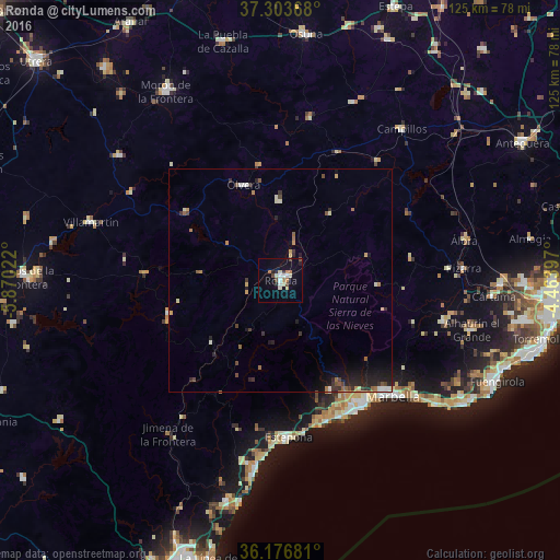
Analysis of Ronda night lights 2016
Square area 10x10 km:
 1.75%
1.75%90-99
3.32%80-89
1.92%70-79
1.22%60-69
2.8%50-59
0.17%40-49
3.5%30-39
0.87%20-29
2.1%10-19
5.77%0-9
76.57%Square area 50x50 km:
0.19%90-99
0.44%80-89
0.3%70-79
0.39%60-69
0.48%50-59
0.35%40-49
0.49%30-39
0.52%20-29
0.87%10-19
1.78%0-9
94.19%Clear (daylight) street map image can be seen on geolist.org.
Map coordinates:
37° 18' 13.2" North, 5° 52' 12.8" West
36° 44' 32.3" North, 5° 10' 1.5" West
36° 10' 36.5" North, 4° 27' 50.3" West
Some cities around Ronda sort by population:
• Marbella
35.6 km =22.1 mi,  135°
135°
• Estepona
35 km =21.7 mi,  176°
176°
• San Pedro de Alcántara
32.3 km =20.1 mi,  150°
150°
• Ubrique
25.9 km =16.1 mi,  253°
253°
• Olvera
23.1 km =14.4 mi,  337°
337°
• Prado del Rey
35 km =21.7 mi,  278°
278°
• Algodonales
26.2 km =16.3 mi,  305°
305°
• Alcalá del Valle
18 km =11.2 mi,  358°
358°
2511730 (p: 36,827)
Sources (retrieved 2019-11-25):
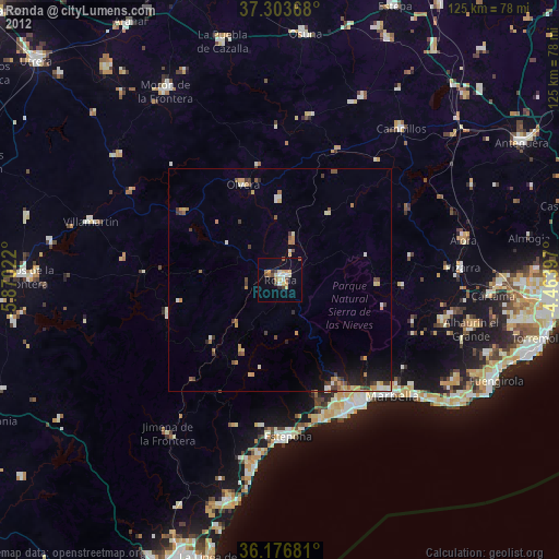
» Earth at Night: Flat Maps 2012, 2016