Los Barrios night lights from space
Night Light of Los Barrios (Andalusia) from space (Spain) Src. Average luminocity for 10x10km area is 32.1783% and for 50x50km: 8.9904%.
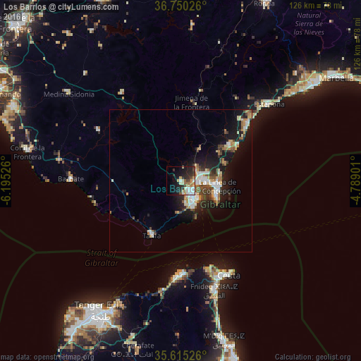
Analysis of Los Barrios night lights 2016
Square area 10x10 km:
 6.47%
6.47%90-99
4.72%80-89
4.9%70-79
3.85%60-69
4.37%50-59
2.1%40-49
3.5%30-39
4.9%20-29
12.06%10-19
20.63%0-9
32.52%Square area 50x50 km:
1.54%90-99
1.49%80-89
0.96%70-79
0.92%60-69
1.38%50-59
0.88%40-49
1.27%30-39
1.31%20-29
2.13%10-19
7.71%0-9
80.42%Clear (daylight) street map image can be seen on geolist.org.
Map coordinates:
36° 45' 0.9" North, 6° 11' 42.9" West
36° 11' 5.4" North, 5° 29' 31.7" West
35° 36' 54.9" North, 4° 47' 20.4" West
Some cities around Los Barrios sort by population:
• Algeciras
6.8 km =4.2 mi,  146°
146°
• La Línea de la Concepción
13.1 km =8.1 mi,  98°
98°
• San Roque
10.1 km =6.3 mi,  73°
73°
• Gibraltar, GI
13.3 km =8.3 mi,  109°
109°
• Tarifa
21.6 km =13.4 mi,  208°
208°
• Manilva
30.4 km =18.9 mi,  45°
45°
• Jimena de la Frontera
28 km =17.4 mi,  7°
7°
• Benalup-Casas Viejas
33.7 km =20.9 mi,  301°
301°
2514824 (p: 22,311)
Sources (retrieved 2019-11-25):
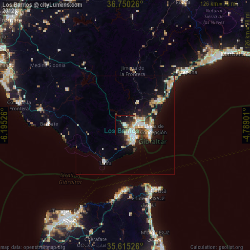
» Earth at Night: Flat Maps 2012, 2016