Alcalá la Real night lights from space
Night Light of Alcalá la Real (Andalusia) from space (Spain) Src. Average luminocity for 10x10km area is 11.776% and for 50x50km: 3.6131%.
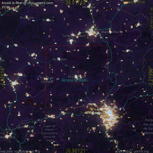
Analysis of Alcalá la Real night lights 2016
Square area 10x10 km:
 0.32%
0.32%90-99
0.97%80-89
3.9%70-79
1.46%60-69
2.44%50-59
0.65%40-49
1.3%30-39
0.65%20-29
1.3%10-19
0.81%0-9
86.2%Square area 50x50 km:
0.07%90-99
0.48%80-89
0.58%70-79
0.5%60-69
0.63%50-59
0.52%40-49
0.5%30-39
0.73%20-29
0.83%10-19
1.58%0-9
93.6%Clear (daylight) street map image can be seen on geolist.org.
Map coordinates:
38° 1' 2.7" North, 4° 37' 34.1" West
37° 27' 41" North, 3° 55' 22.8" West
36° 54' 4.4" North, 3° 13' 11.6" West
Some cities around Alcalá la Real sort by population:
• Martos
29.2 km =18.1 mi,  351°
351°
• Priego de Córdoba
24.2 km =15 mi,  263°
263°
• Pinos Puente
28 km =17.4 mi,  146°
146°
• Alcaudete
20.1 km =12.5 mi,  315°
315°
• Illora
19.7 km =12.2 mi,  169°
169°
• Montefrío
17.2 km =10.7 mi,  206°
206°
• Los Villares
27.2 km =16.9 mi,  19°
19°
• Castillo de Locubín
7.7 km =4.8 mi, 347°
2522160 (p: 22,783)
Sources (retrieved 2019-11-25):
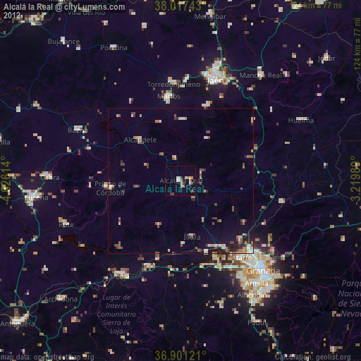
» Earth at Night: Flat Maps 2012, 2016