Suez night lights from space
Night Light of Suez from space (Egypt) Src. Average luminocity for 10x10km area is 88.267% and for 50x50km: 15.5935%.
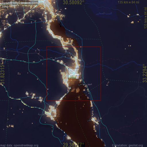
Analysis of Suez night lights 2016
Square area 10x10 km:
 41.29%
90-99
27.46%80-89
9.28%70-79
3.03%60-69
2.84%50-59
12.12%40-49
2.84%30-39
0.95%20-29
0.19%10-19
0%0-9
0%Square area 50x50 km:
2.61%90-99
2.11%80-89
3.17%70-79
1.26%60-69
0.81%50-59
1.49%40-49
3.04%30-39
3.8%20-29
4.16%10-19
9.89%0-9
67.67%Clear (daylight) street map image can be seen on geolist.org.
Map coordinates:
30° 34' 51.3" North, 31° 49' 23.3" East
29° 58' 25.4" North, 32° 31' 34.6" East
29° 21' 46" North, 33° 13' 45.8" East
Some cities around Suez sort by population:
• Ismailia
74.2 km =46.1 mi,  340°
340°
• New Cairo
101.9 km =63.3 mi,  273°
273°
• Bilbays
105.1 km =65.3 mi,  298°
298°
• Fāqūs
109.2 km =67.9 mi,  320°
320°
• Al Khānkah
114.5 km =71.1 mi,  283°
283°
• Al Qurayn
104.3 km =64.8 mi,  313°
313°
• At Tall al Kabīr
95.3 km =59.2 mi, 311°
• Ain Sukhna
46.2 km =28.7 mi,  205°
205°
359796 (p: 488,125)
Sources (retrieved 2019-11-25):
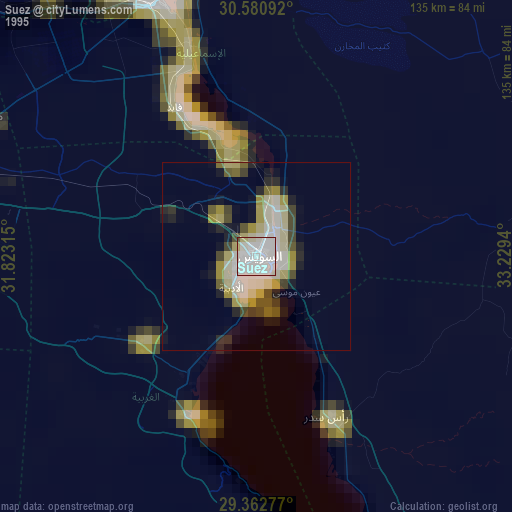
» NASA, Earths city lights 1995
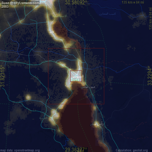
» NASA city lights 2003
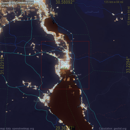
» Earth at Night: Flat Maps 2012, 2016