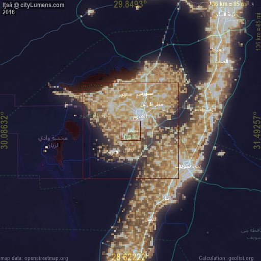
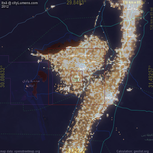
Iţsā night lights from space
Night Light of Iţsā (Faiyum) from space (Egypt) Src. Average luminocity for 10x10km area is 76.6894% and for 50x50km: 55.8899%.
Analysis of Iţsā night lights 2016
Square area 10x10 km:
 7.01%
7.01%90-99
17.8%80-89
20.27%70-79
14.2%60-69
29.92%50-59
10.8%40-49
0%30-39
0%20-29
0%10-19
0%0-9
0%Square area 50x50 km:
5.52%90-99
9.59%80-89
14.34%70-79
14.25%60-69
11.01%50-59
7.8%40-49
6.62%30-39
5.26%20-29
5.4%10-19
5.63%0-9
14.58%Clear (daylight) street map image can be seen on geolist.org.
Map coordinates:
29° 50' 57.5" North, 30° 5' 10.8" East
29° 14' 15.4" North, 30° 47' 22" East
28° 37' 20" North, 31° 29' 33.3" East
Some cities around Iţsā sort by population:
• Al Fayyūm
9.5 km =5.9 mi,  32°
32°
• Banī Suwayf
35 km =21.7 mi,  121°
121°
• Būsh
34.3 km =21.3 mi,  106°
106°
• Al Fashn
47.2 km =29.3 mi,  166°
166°
• Ibshawāy
17.1 km =10.6 mi,  321°
321°
• Ţāmiyah
31.3 km =19.4 mi, 32°
• Al Wāsiţah
41.9 km =26 mi,  74°
74°
• Sumusţā as Sulţānī
36.2 km =22.5 mi, 170°
355420 (p: 45,269)
Sources (retrieved 2019-11-25):
» Earth at Night: Flat Maps 2012, 2016