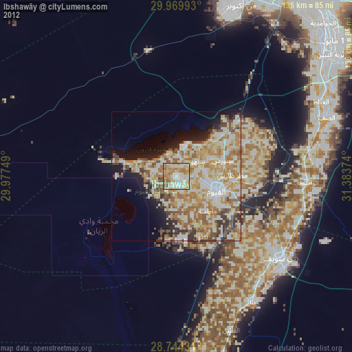
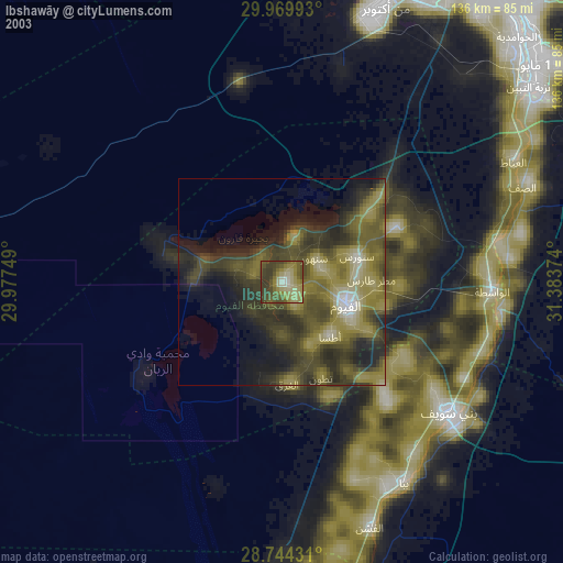
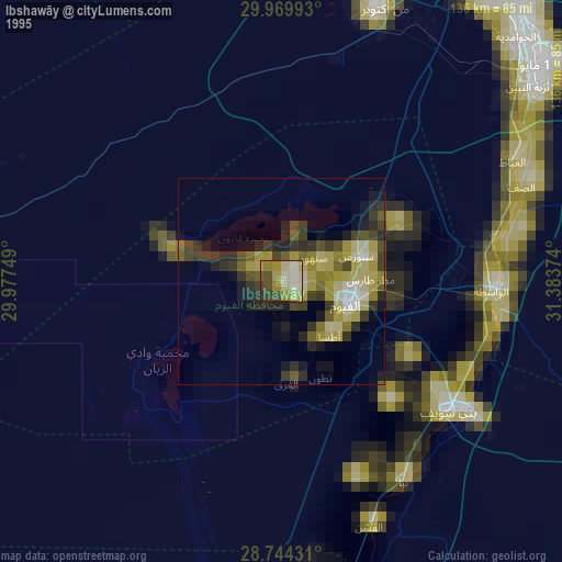
Ibshawāy night lights from space
Night Light of Ibshawāy (Faiyum) from space (Egypt) Src. Average luminocity for 10x10km area is 84.0322% and for 50x50km: 43.0362%.
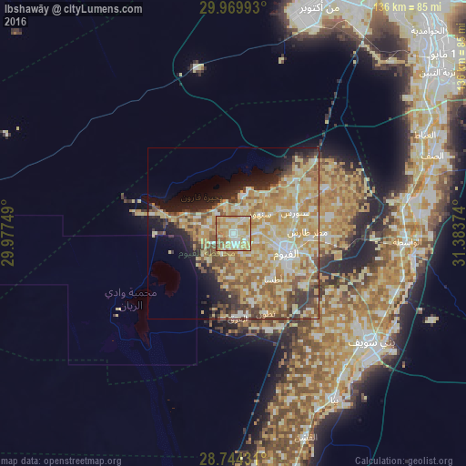
Analysis of Ibshawāy night lights 2016
Square area 10x10 km:
 12.12%
90-99
26.52%80-89
28.03%70-79
20.08%60-69
8.33%50-59
4.92%40-49
0%30-39
0%20-29
0%10-19
0%0-9
0%Square area 50x50 km:
4.36%90-99
8.02%80-89
12.07%70-79
10.43%60-69
7.15%50-59
5.24%40-49
4.33%30-39
3.64%20-29
3.97%10-19
7.39%0-9
33.39%Clear (daylight) street map image can be seen on geolist.org.
Map coordinates:
29° 58' 11.7" North, 29° 58' 39" East
29° 21' 32.3" North, 30° 40' 50.2" East
28° 44' 39.5" North, 31° 23' 1.5" East
Some cities around Ibshawāy sort by population:
• Al Fayyūm
16.5 km =10.3 mi,  109°
109°
• Banī Suwayf
51.4 km =31.9 mi,  128°
128°
• Būsh
49.3 km =30.6 mi,  118°
118°
• Ţāmiyah
30.1 km =18.7 mi,  64°
64°
• Iţsā
17.1 km =10.6 mi,  141°
141°
• Madīnat Sittah Uktūbar
62.2 km =38.6 mi,  35°
35°
• Al Wāsiţah
50.9 km =31.6 mi,  92°
92°
• Sumusţā as Sulţānī
51.9 km =32.2 mi,  161°
161°
355648 (p: 51,173)
Sources (retrieved 2019-11-25):
» NASA, Earths city lights 1995
» NASA city lights 2003
» Earth at Night: Flat Maps 2012, 2016