Madīnat Sittah Uktūbar night lights from space
Night Light of Madīnat Sittah Uktūbar (Giza) from space (Egypt) Src. Average luminocity for 10x10km area is 13.877% and for 50x50km: 42.7211%.
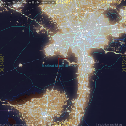
Analysis of Madīnat Sittah Uktūbar night lights 2016
Square area 10x10 km:
 0%
0%90-99
0.99%80-89
2.98%70-79
1.59%60-69
0.79%50-59
0%40-49
0.6%30-39
4.76%20-29
7.14%10-19
24.6%0-9
56.55%Square area 50x50 km:
16.6%90-99
10.92%80-89
7.57%70-79
2.47%60-69
1.17%50-59
1.82%40-49
3.66%30-39
4.43%20-29
4.51%10-19
5.68%0-9
41.15%Clear (daylight) street map image can be seen on geolist.org.
Map coordinates:
30° 25' 29.5" North, 30° 20' 48.8" East
29° 49' 0" North, 31° 3' 0" East
29° 12' 17.2" North, 31° 45' 11.3" East
Some cities around Madīnat Sittah Uktūbar sort by population:
• Cairo
33.4 km =20.8 mi,  35°
35°
• Giza
26.3 km =16.3 mi, 35°
• Ḩalwān
24.4 km =15.2 mi,  83°
83°
• Al Ḩawāmidīyah
21.4 km =13.3 mi,  64°
64°
• Awsīm
35.1 km =21.8 mi,  13°
13°
• Ţāmiyah
38.8 km =24.1 mi,  192°
192°
• Aş Şaff
35.8 km =22.2 mi,  141°
141°
• Al ‘Ayyāţ
29.7 km =18.5 mi, 137°
353219 (p: 41,930)
Sources (retrieved 2019-11-25):
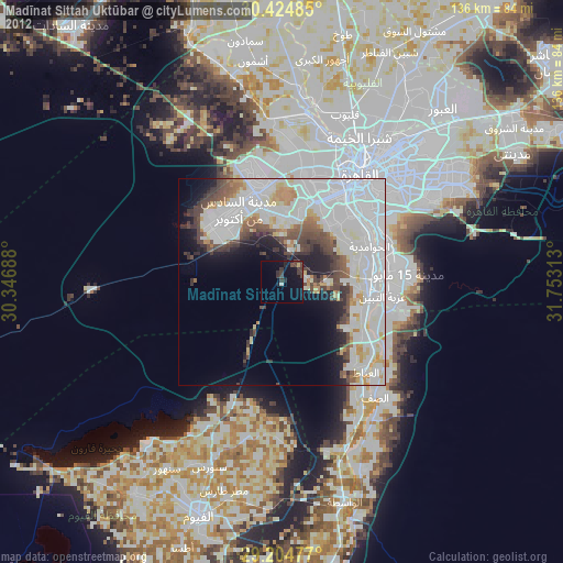
» Earth at Night: Flat Maps 2012, 2016