Al Minyā night lights from space
Night Light of Al Minyā (Minya) from space (Egypt) Src. Average luminocity for 10x10km area is 83.5644% and for 50x50km: 29.775%.
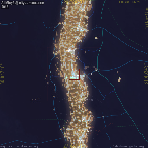
Analysis of Al Minyā night lights 2016
Square area 10x10 km:
 23.48%
90-99
29.55%80-89
8.52%70-79
12.31%60-69
14.96%50-59
6.63%40-49
0.95%30-39
2.46%20-29
1.14%10-19
0%0-9
0%Square area 50x50 km:
3.39%90-99
5.75%80-89
4.57%70-79
4.2%60-69
5.64%50-59
7.31%40-49
5.26%30-39
3.11%20-29
5.12%10-19
7.21%0-9
48.44%Clear (daylight) street map image can be seen on geolist.org.
Map coordinates:
28° 43' 41.8" North, 30° 2' 49.8" East
28° 6' 35.6" North, 30° 45' 1.1" East
27° 29' 16.5" North, 31° 27' 12.3" East
Some cities around Al Minyā sort by population:
• Mallawī
43 km =26.7 mi,  167°
167°
• Samālūţ
22.8 km =14.2 mi,  350°
350°
• Al Qūşīyah
74.8 km =46.5 mi, 174°
• Dayrūţ
61.8 km =38.4 mi, 174°
• Abū Qurqāş
21.7 km =13.5 mi,  156°
156°
• Banī Mazār
44.1 km =27.4 mi,  6°
6°
• Maţāy
34.5 km =21.4 mi,  4°
4°
• Dayr Mawās
52.9 km =32.9 mi, 169°
360686 (p: 227,150)
Sources (retrieved 2019-11-25):
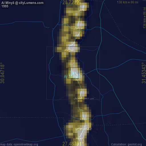
» NASA, Earths city lights 1995
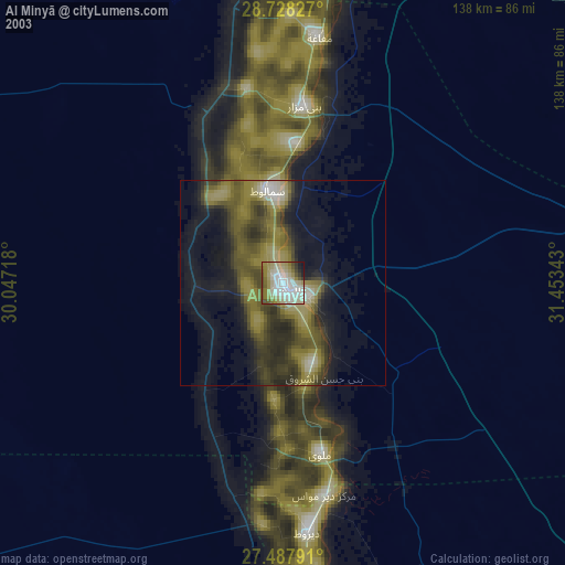
» NASA city lights 2003
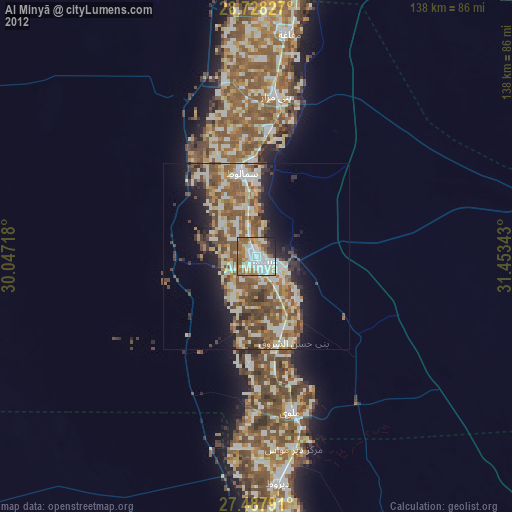
» Earth at Night: Flat Maps 2012, 2016