Maţāy night lights from space
Night Light of Maţāy (Minya) from space (Egypt) Src. Average luminocity for 10x10km area is 66.3393% and for 50x50km: 32.116%.
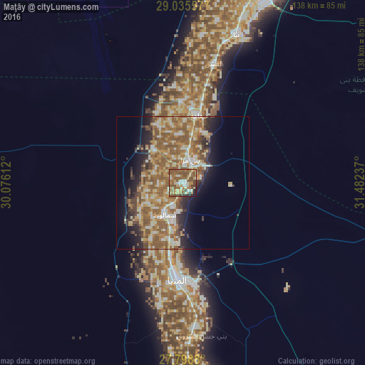
Analysis of Maţāy night lights 2016
Square area 10x10 km:
 5.95%
5.95%90-99
8.33%80-89
13.29%70-79
12.1%60-69
17.26%50-59
30.36%40-49
6.15%30-39
2.78%20-29
2.38%10-19
1.39%0-9
0%Square area 50x50 km:
2.88%90-99
4.93%80-89
5.32%70-79
5.94%60-69
7.35%50-59
9.96%40-49
3.9%30-39
3.04%20-29
4.54%10-19
7.23%0-9
44.91%Clear (daylight) street map image can be seen on geolist.org.
Map coordinates:
29° 2' 8.1" North, 30° 4' 34" East
28° 25' 8.4" North, 30° 46' 45.3" East
27° 47' 55.7" North, 31° 28' 56.5" East
Some cities around Maţāy sort by population:
• Al Minyā
34.5 km =21.4 mi,  184°
184°
• Banī Suwayf
79.2 km =49.2 mi,  23°
23°
• Mallawī
76.7 km =47.7 mi, 175°
• Samālūţ
13.7 km =8.5 mi,  209°
209°
• Al Fashn
46.6 km =29 mi,  14°
14°
• Abū Qurqāş
54.5 km =33.9 mi,  173°
173°
• Banī Mazār
9.6 km =6 mi, 12°
• Sumusţā as Sulţānī
55.8 km =34.7 mi, 7°
352628 (p: 45,215)
Sources (retrieved 2019-11-25):
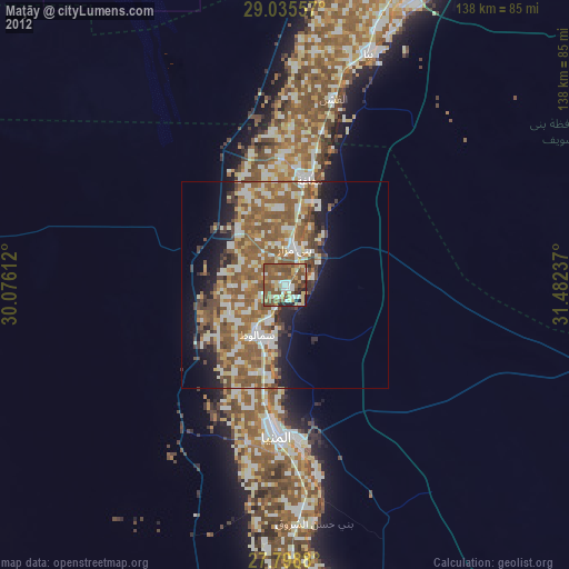
» Earth at Night: Flat Maps 2012, 2016