Makouda night lights from space
Night Light of Makouda (Boumerdes) from space (Algeria) Src. Average luminocity for 10x10km area is 20.5804% and for 50x50km: 16.3814%.
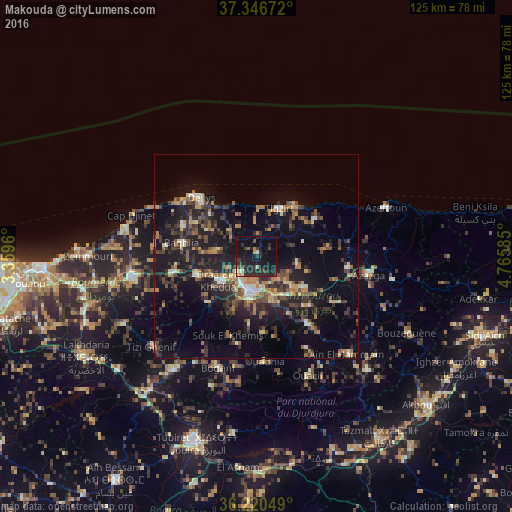
Analysis of Makouda night lights 2016
Square area 10x10 km:
 0%
0%90-99
2.27%80-89
1.57%70-79
1.75%60-69
0.7%50-59
1.4%40-49
2.62%30-39
7.34%20-29
17.31%10-19
32.69%0-9
32.34%Square area 50x50 km:
0.61%90-99
1.76%80-89
1.27%70-79
2.16%60-69
2.44%50-59
2.36%40-49
3.21%30-39
4.55%20-29
6.06%10-19
16.01%0-9
59.56%Clear (daylight) street map image can be seen on geolist.org.
Map coordinates:
37° 20' 48.2" North, 3° 21' 34.6" East
36° 47' 8.4" North, 4° 3' 45.8" East
36° 13' 13.8" North, 4° 45' 57.1" East
Some cities around Makouda sort by population:
• Tizi Ouzou
8.3 km =5.2 mi,  190°
190°
• Timizart
18.2 km =11.3 mi,  84°
84°
• Draa Ben Khedda
10.6 km =6.6 mi,  237°
237°
• Beni Douala
18.6 km =11.6 mi,  174°
174°
• Tirmitine
16.3 km =10.1 mi,  206°
206°
• Tadmaït
15.2 km =9.4 mi,  252°
252°
• Boudjima
8.1 km =5 mi, 76°
• Tizi Rached
17.1 km =10.6 mi,  137°
137°
2490297 (p: 34,515)
Sources (retrieved 2019-11-25):
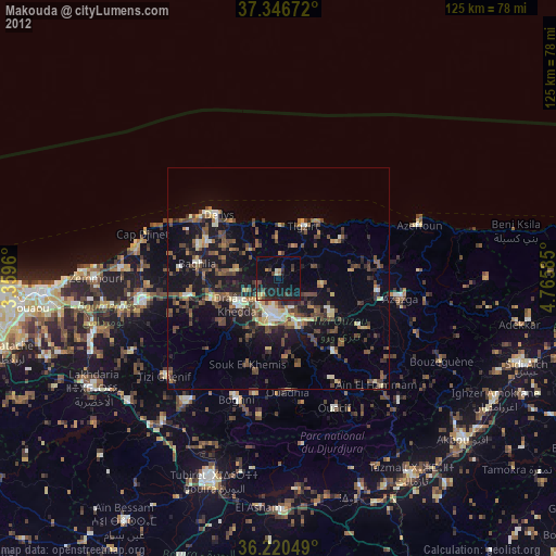
» Earth at Night: Flat Maps 2012, 2016