Boudjima night lights from space
Night Light of Boudjima (Tizi Ouzou) from space (Algeria) Src. Average luminocity for 10x10km area is 12.2203% and for 50x50km: 14.5237%.
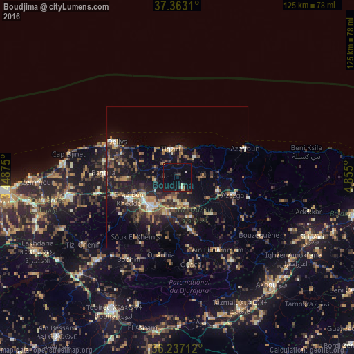
Analysis of Boudjima night lights 2016
Square area 10x10 km:
 0%
0%90-99
1.4%80-89
0.7%70-79
1.05%60-69
0.87%50-59
0.52%40-49
1.05%30-39
2.27%20-29
4.02%10-19
16.61%0-9
71.5%Square area 50x50 km:
0.59%90-99
1.69%80-89
1.04%70-79
2%60-69
2.14%50-59
2.27%40-49
2.87%30-39
3.78%20-29
5.33%10-19
12.34%0-9
65.95%Clear (daylight) street map image can be seen on geolist.org.
Map coordinates:
37° 21' 47.2" North, 3° 26' 55.5" East
36° 48' 7.8" North, 4° 9' 6.7" East
36° 14' 13.6" North, 4° 51' 18" East
Some cities around Boudjima sort by population:
• Tizi Ouzou
13.8 km =8.6 mi,  223°
223°
• Timizart
10.2 km =6.3 mi,  91°
91°
• Draa Ben Khedda
18.5 km =11.5 mi,  245°
245°
• Makouda
8.1 km =5 mi,  256°
256°
• Freha
15.6 km =9.7 mi,  110°
110°
• Mekla
16.7 km =10.4 mi,  143°
143°
• Arhribs
14.3 km =8.9 mi, 93°
• Tizi Rached
14.9 km =9.3 mi,  166°
166°
2503237 (p: 20,557)
Sources (retrieved 2019-11-25):
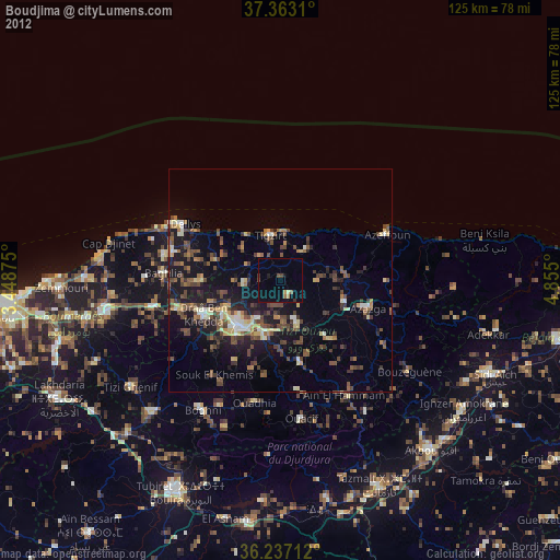
» Earth at Night: Flat Maps 2012, 2016