Mekla night lights from space
Night Light of Mekla (Tizi Ouzou) from space (Algeria) Src. Average luminocity for 10x10km area is 15.3407% and for 50x50km: 13.9033%.
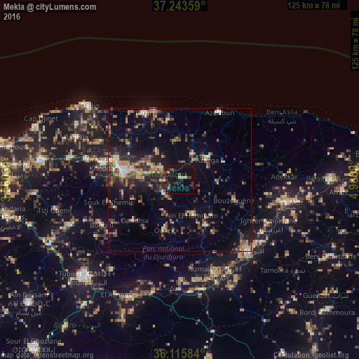
Analysis of Mekla night lights 2016
Square area 10x10 km:
 0%
0%90-99
0.73%80-89
2.2%70-79
0.73%60-69
0.73%50-59
2.2%40-49
3.48%30-39
5.86%20-29
4.76%10-19
22.71%0-9
56.59%Square area 50x50 km:
0.5%90-99
1.54%80-89
1.19%70-79
1.77%60-69
2.23%50-59
2.16%40-49
2.69%30-39
4.09%20-29
4.29%10-19
9.32%0-9
70.21%Clear (daylight) street map image can be seen on geolist.org.
Map coordinates:
37° 14' 36.9" North, 3° 33' 38.3" East
36° 40' 54.4" North, 4° 15' 49.6" East
36° 6' 57" North, 4° 58' 0.8" East
Some cities around Mekla sort by population:
• Timizart
13.1 km =8.1 mi,  1°
1°
• Azazga
11.9 km =7.4 mi,  54°
54°
• Freha
9.1 km =5.7 mi,  30°
30°
• L’Arbaa Naït Irathen
8.1 km =5 mi,  225°
225°
• ’Aïn el Hammam
13.6 km =8.5 mi,  163°
163°
• Arhribs
13.1 km =8.1 mi,  18°
18°
• Boudjima
16.7 km =10.4 mi,  323°
323°
• Tizi Rached
6.5 km =4 mi,  260°
260°
2488500 (p: 29,560)
Sources (retrieved 2019-11-25):
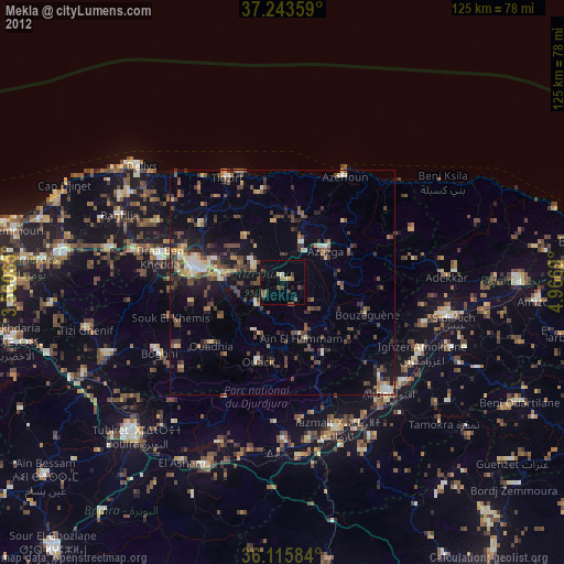
» Earth at Night: Flat Maps 2012, 2016