Barbacha night lights from space
Night Light of Barbacha (Béjaïa) from space (Algeria) Src. Average luminocity for 10x10km area is 4.2949% and for 50x50km: 12.0273%.
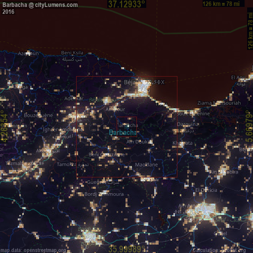
Analysis of Barbacha night lights 2016
Square area 10x10 km:
100  0%
0%
90-99 0.73%
80-89 0%
70-79 1.1%
60-69 0.37%
50-59 0%
40-49 0.92%
30-39 2.01%
20-29 1.47%
10-19 0%
0-9 93.41%
0%90-99
0.73%80-89
0%70-79
1.1%60-69
0.37%50-59
0%40-49
0.92%30-39
2.01%20-29
1.47%10-19
0%0-9
93.41%Square area 50x50 km:
100 0.75%
90-99 1.5%
80-89 1.16%
70-79 2.04%
60-69 1.21%
50-59 1.23%
40-49 2.15%
30-39 2.81%
20-29 2.76%
10-19 10.45%
0-9 73.93%
0.75%90-99
1.5%80-89
1.16%70-79
2.04%60-69
1.21%50-59
1.23%40-49
2.15%30-39
2.81%20-29
2.76%10-19
10.45%0-9
73.93%Clear (daylight) street map image can be seen on geolist.org.
Map coordinates:
37° 7' 45.6" North, 4° 15' 48.7" East
36° 34' 0" North, 4° 58' 0" East
35° 59' 59.6" North, 5° 40' 11.2" East
Some cities around Barbacha sort by population:
• Bejaïa
23.5 km =14.6 mi,  26°
26°
• Bougaa
28.2 km =17.5 mi,  157°
157°
• el hed
19.6 km =12.2 mi,  298°
298°
• El Kseur
16 km =9.9 mi,  321°
321°
• Amizour
10 km =6.2 mi, 324°
• Feraoun
10 km =6.2 mi,  266°
266°
• Chemini
31.5 km =19.6 mi,  276°
276°
• Seddouk
25.2 km =15.7 mi, 265°
2505651 (p: 31,983)
Sources (retrieved 2019-11-25):
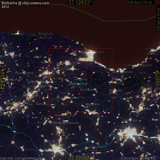
» Earth at Night: Flat Maps 2012, 2016