Paraíso night lights from space
Night Light of Paraíso (Barahona) from space (Dominican Republic) Src. Average luminocity for 10x10km area is 0.8139% and for 50x50km: 0.676%.
Analysis of Paraíso night lights 2016
Square area 10x10 km:
 0%
0%90-99
0%80-89
0%70-79
0%60-69
0%50-59
0.87%40-49
0%30-39
0.87%20-29
0%10-19
0%0-9
98.27%Square area 50x50 km:
0.07%90-99
0.22%80-89
0.07%70-79
0.05%60-69
0%50-59
0.07%40-49
0.03%30-39
0.16%20-29
0.07%10-19
0.35%0-9
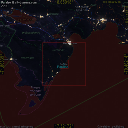
98.91%Clear (daylight) street map image can be seen on geolist.org.
Map coordinates:
18° 39' 33" North, 71° 52' 6.2" West
17° 59' 30.2" North, 71° 9' 54.9" West
17° 19' 18.2" North, 70° 27' 43.7" West
Some cities around Paraíso sort by population:
• Santa Cruz de Barahona
25.1 km =15.6 mi,  15°
15°
• Neiba
60.7 km =37.7 mi,  333°
333°
• Duvergé
57.4 km =35.7 mi,  318°
318°
• Cabral
29.2 km =18.1 mi,  349°
349°
• Vicente Noble
43.7 km =27.2 mi,  357°
357°
• Tamayo
45 km =28 mi, 354°
• Galván
59.8 km =37.2 mi,  341°
341°
• Enriquillo
12.5 km =7.8 mi,  215°
215°
3495272 (p: 6,490)
Sources (retrieved 2019-11-25):
» Earth at Night: Flat Maps 2012, 2016