Bella Vista night lights from space
Night Light of Bella Vista (Nacional) from space (Dominican Republic) Src. Average luminocity for 10x10km area is 78.5909% and for 50x50km: 26.3415%.
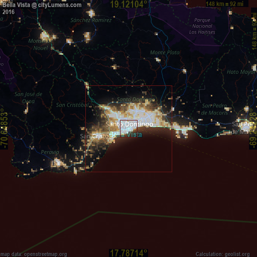

Analysis of Bella Vista night lights 2016
Square area 10x10 km:
 47.52%
90-99
19.42%80-89
2.27%70-79
1.86%60-69
2.07%50-59
0%40-49
2.07%30-39
8.06%20-29
12.19%10-19
4.34%0-9
0.21%Square area 50x50 km:
5.98%90-99
5.72%80-89
2.9%70-79
2.84%60-69
3.87%50-59
1.85%40-49
3.47%30-39
4.87%20-29
6.32%10-19
9.77%0-9
52.41%Clear (daylight) street map image can be seen on geolist.org.
Map coordinates:
19° 7' 15.7" North, 70° 38' 54.7" West
18° 27' 19.4" North, 69° 56' 43.4" West
17° 47' 13.7" North, 69° 14' 32.2" West
Some cities around Bella Vista sort by population:
• Santo Domingo
5.9 km =3.7 mi,  71°
71°
• Villa Francisca
6.7 km =4.2 mi,  62°
62°
• Villa Consuelo
5.7 km =3.5 mi, 57°
• Ciudad Nueva
5.6 km =3.5 mi,  76°
76°
• Cristo Rey
5.1 km =3.2 mi,  14°
14°
• San Carlos
5.7 km =3.5 mi, 57°
• La Julia
1.8 km =1.1 mi,  45°
45°
• La Agustina
5.1 km =3.2 mi, 14°
3511550 (p: 175,683)
Sources (retrieved 2019-11-25):
» NASA, Earths city lights 1995
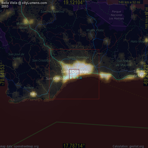
» NASA city lights 2003
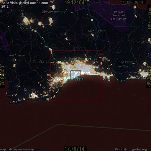
» Earth at Night: Flat Maps 2012, 2016